There’s a good Lancashire word – slutch. The online Collins dictionary defines it as “a fine-grained soft wet deposit that occurs on the ground after rain” and that’s a decent enough description. Last Sunday, during a walk around Pendle Hill after a few days of rainy weather, I encountered plenty of it!
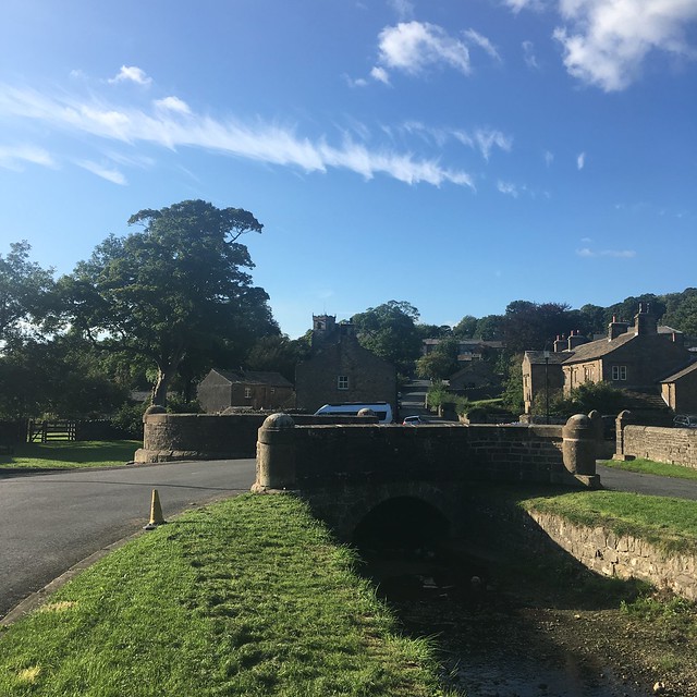
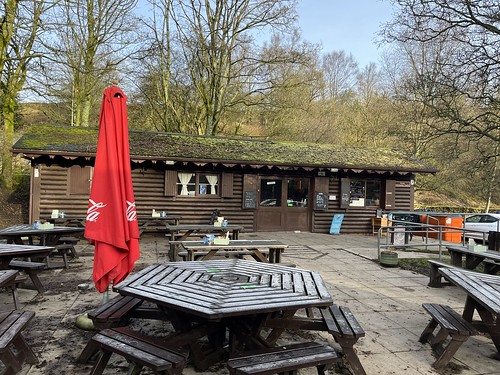
Sunday promised to be a fine day so I fancied a walk. I didn’t feel like a long drive so decided to head over to Pendle as I hadn’t been there for a while. It was a sunny morning when I got up, but the car was covered in ice. It took a little while to defrost but then I loaded up the boot with my gear and set off on the drive to the small village of Barley, which sits at the foot of Pendle Hill. The roads had been quiet but when I arrived in Barley it was already very busy. There were cars parked all along the narrow roads but I decided to use the village car park. £3 for all day is reasonable enough and contributes to the upkeep. I booted up and set off, passing the Cabin cafe which had just opened. Not many customers, but it was a different story by the time I got back in the afternoon!
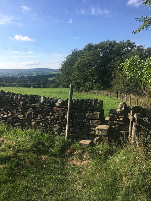
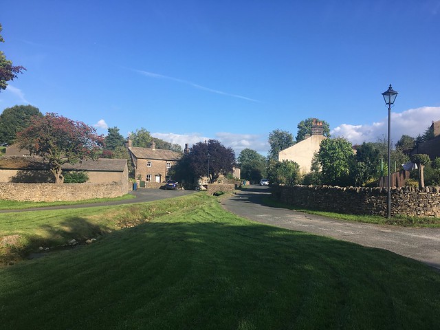
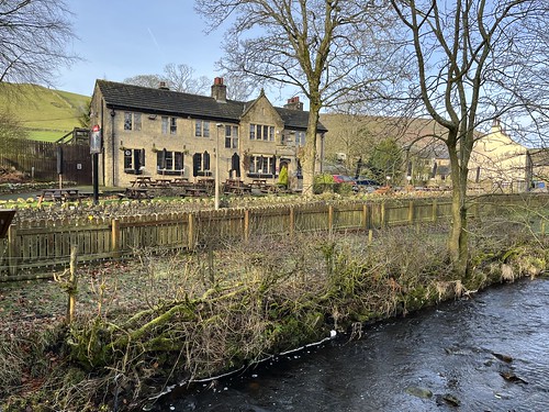
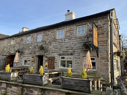
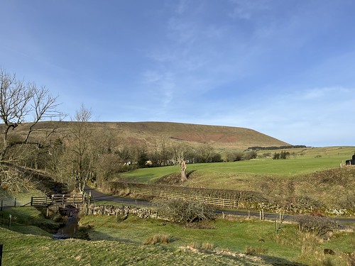
I walked through the attractive village
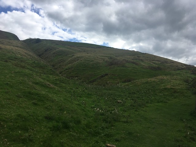
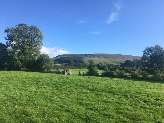
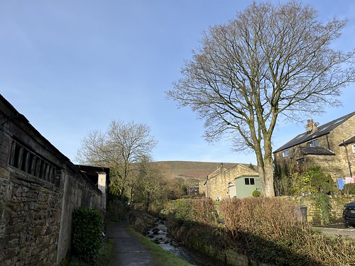
and then took the Pendle Way path along the river, heading towards the hill
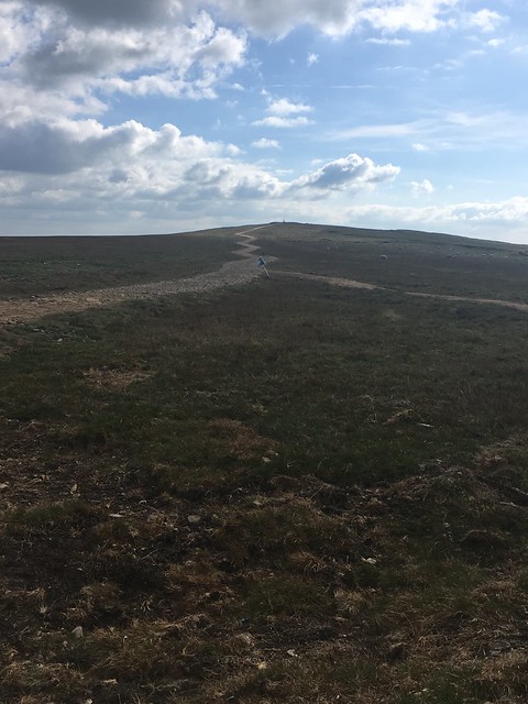
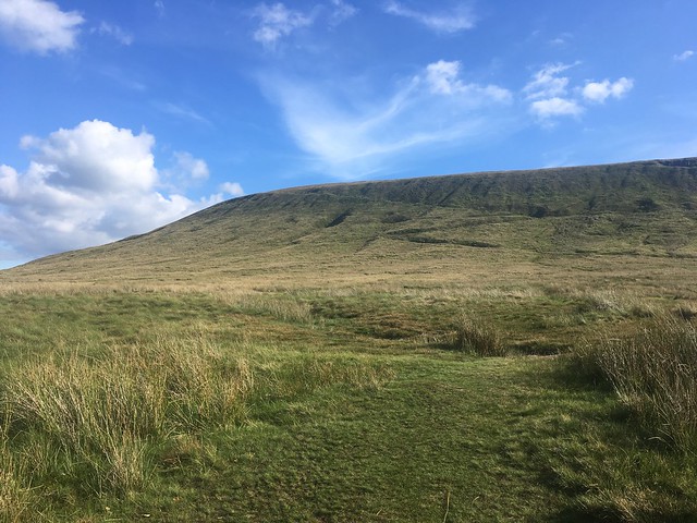
And there it is
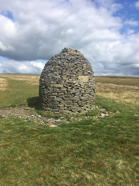
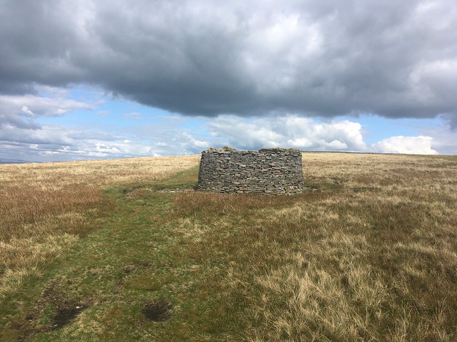
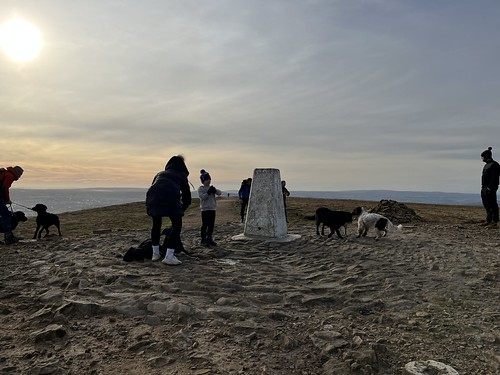
The summit is 557 metres (1,827 ft) above mean sea level. So it doesn’t qualify as a mountain, but it’s a stiff climb up the steep main path from Barley. The hill doesn’t have a distinct summit. Its a long ridge. There’s a trig point at the highest point which is known as the “Big End”.
“Pendle Hill” actually means “hill hill hill”. The following explanation is from Wikipedia
In the 13th century it was called Pennul or Penhul, apparently from the Cumbric pen and Old English hyll, both meaning “hill”. The modern English “hill” was appended later,
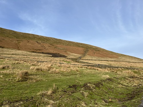
I followed the path, avoiding the muddy stretches as best I could and reaching the foot of the hill started to climb up the steep path. A lot of work had been done since my last visit to minimise erosion caused by the boots of a large number of people who make their way up this way. Stone steps had been laid down. There were quite a few other people making their way up. I have to admit that not being fully “fell fit” a few breathers were need. But it’s not a race!
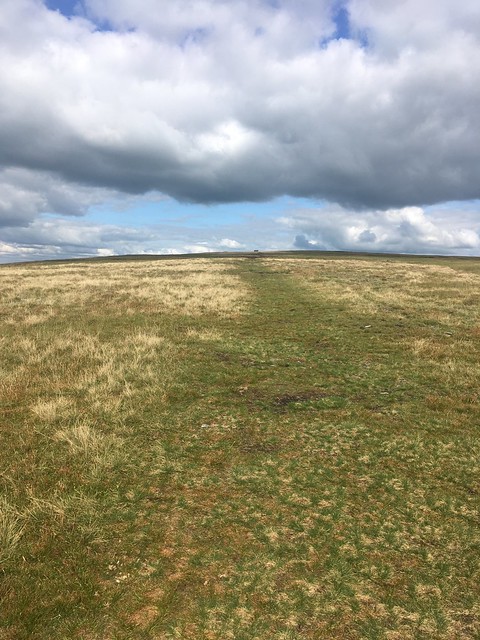
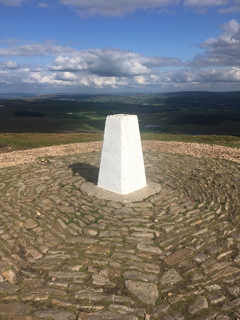
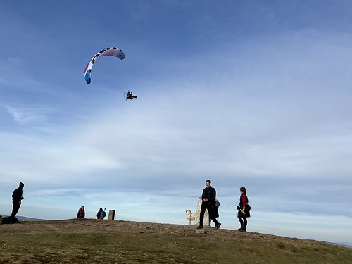
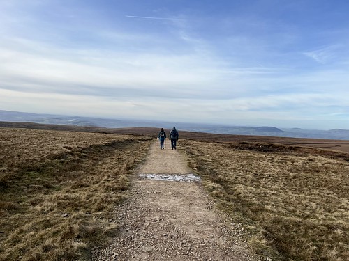
Eventually I made it to the top of the slope and followed the much gentler path towards the summit – the “Big End”.

I wasn’t the only one there when I reached it.
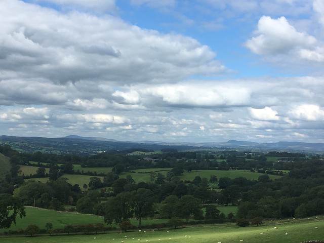
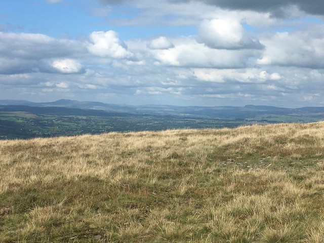
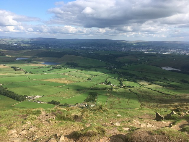
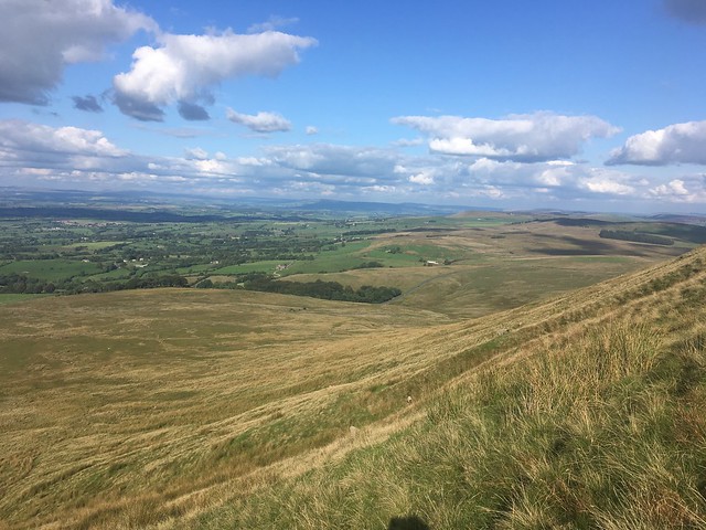
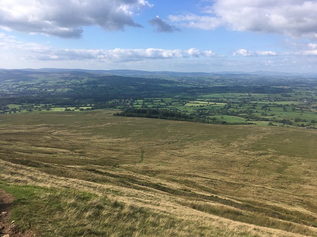
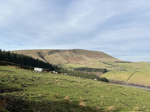
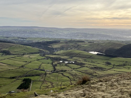
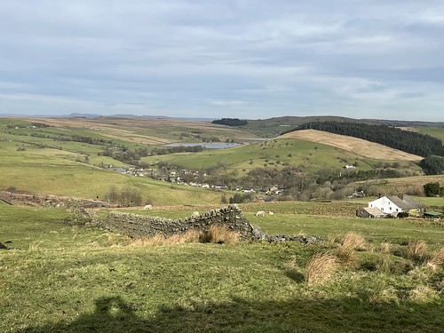
On a clear day the views all round were pretty good. There’s Ingleborough and Pen-y-gent in the distance
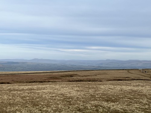
and over to Bowland with the Lake District fells peeking over the top of the hills.
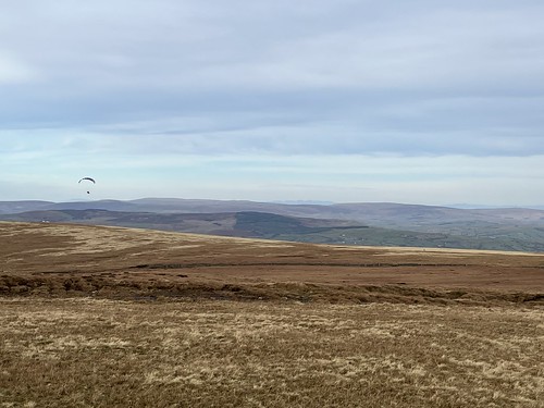
There was a microlight craft in the distance making it’s way, noisily, towards the summit

Reaching it, the pilot swooped down over our heads and then over the hill, starting to show off performing acrobatics.
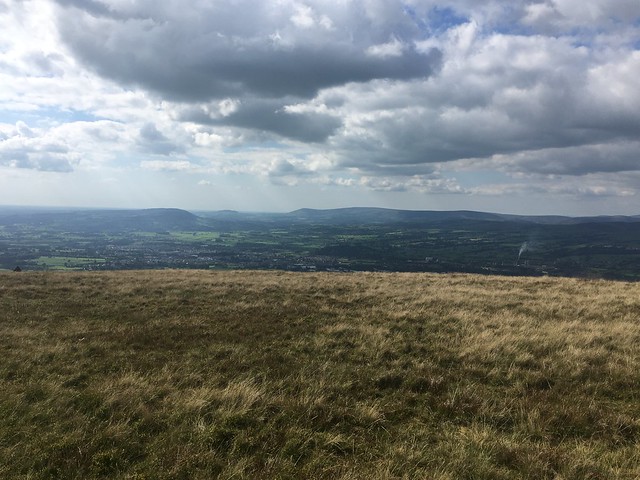
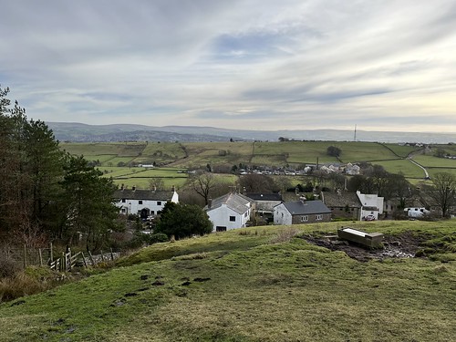
This was the view back down to Barley.
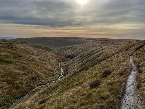
I could have made my way back down to there but instead took a longer route, setting off across the peat bog towards Ogden Clough. A lot of work has been done to preserve the peat with a flagged path across the bog which meant I was able to keep my boots dry.
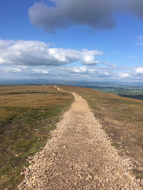
The top of the hill is a long, flat plateau but eventually I descended down the path into Ogden Clough crossing the river which wends its way through the valley towards Barley.
There were no paving slabs along this path so I had to navigate plenty of stretches of smud – but this was not the worst of the slutch by any means!
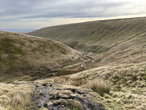
At a fork in the path, where one branch heads over to the Nick of Pendle, I continued to follow the river, after a while descending steeply down a slippery slope, and crossing over the river. A couple of fell runners overtook me and I watched one of the slip and fall on his backside into the water. I took extra care!

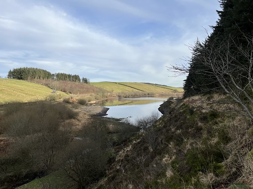
I continued along the path down the valley eventually reaching the first of two small reservoirs built to provide water for the people of Burnley.
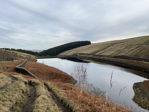
I was now walking on a stretch of tarmac towards the Lower reservoir, but soon left the road just before the reaching it, following the Pendle Way and the Lancashire Witches’ Walk,

and passing one of the tercets waymarkers which have been installed along the latter route.
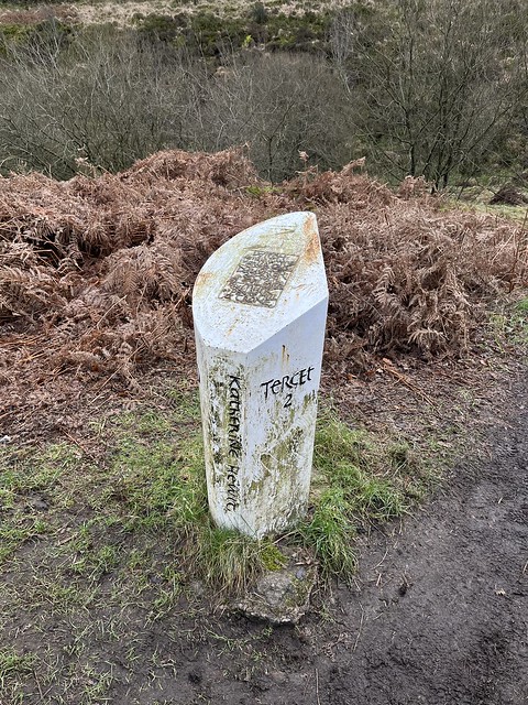
A tercet is form of poem comprising a three-line stanza, and this one , dedicated to Katherine Hewitt reads
Witch: female, cunning, manless, old,
daughter of such, of evil faith;
in the murk of Pendle Hill, a crone.
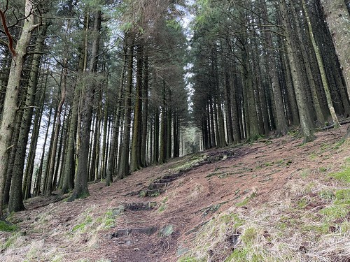
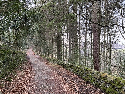
The path took me up some steep steps through a pine wood
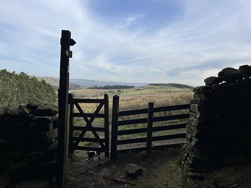
before emerging into the daylight to cross some fields up the hill and then towards the small village of Newchurch in Pendle.
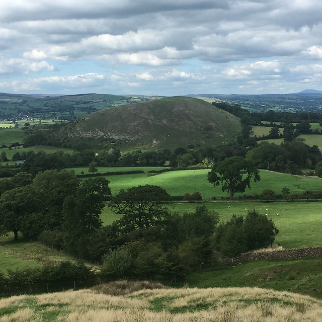
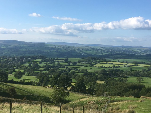
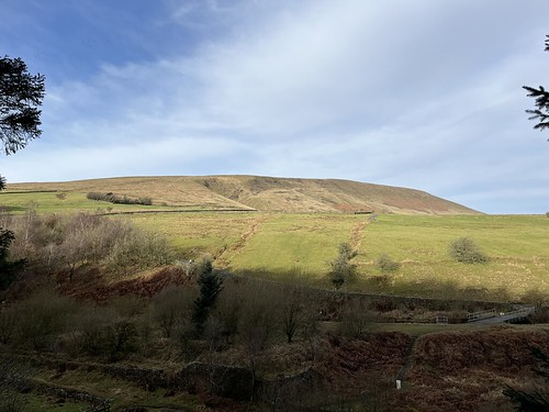
A cracking view across to Pendle Hill
The going looks good but this was the muckiest stretch of the walk with deep mud in places. At one point my boots were completely submerged in the slutch. I was glad that I’d decided to wear my gaiters.
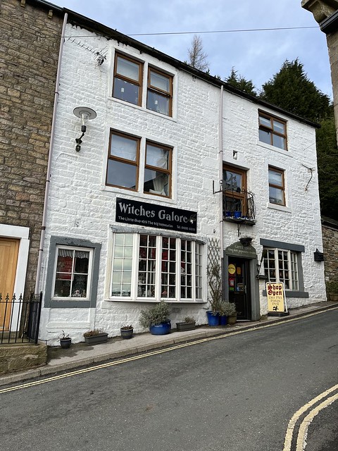
Descending down into Newchurch
and passing the well known gift shop that sells items of witchery and other bits and bobs
I decided to have a look at the church which gives the village its name (it was new in 1740!).

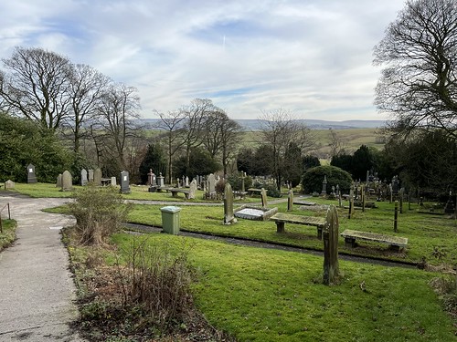
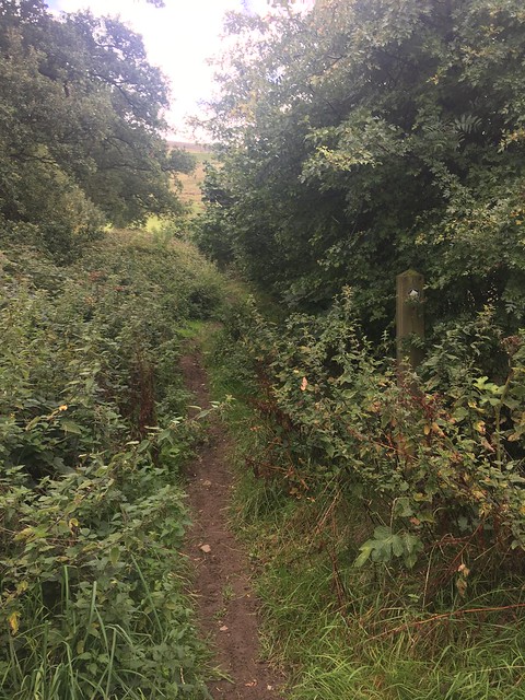
I walked across the graveyard and then too a path through fields (more slutch!) to Jinny Road.
I could have followed some paths through the fields, but I was getting a little fed up of trying, and failing, to avoid the mud! After about a mile I reached my next objective.
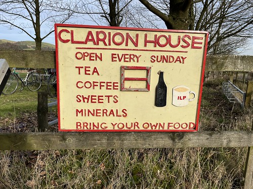
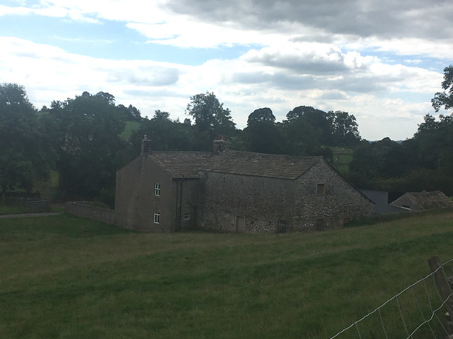
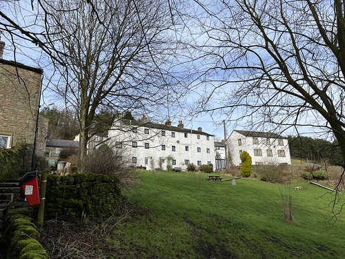
Clarion House is the last remaining example of establishments founded in the late nineteenth and early twentieth centuries by the Clarion Movement and other Socialist organisations, to provide refreshments, and often accommodation, for walkers, cyclists and others who wanted to escape the smoke and grime of the industrial towns and cities.
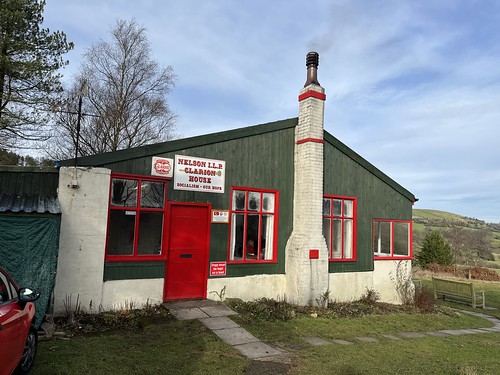
I think this deserves it’s own post so for now I’ll just mention that I enjoyed a pint of tea, costing 70 pence, the opportunity to eat the butties I’d brought with me and chats with the staff and a nice elderly couple who lived locally and were regular visitors.
Refreshed I set of back through the field, initially sticking to the road (to avoid the mud sticking to me)
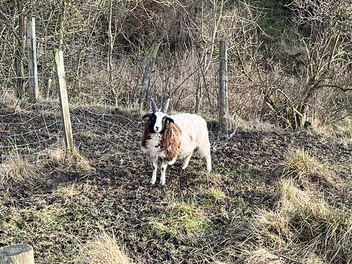
I saw some unusual sheep. I’m sure someone can tell me what breed this is
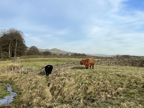
and Anabel had sent the coos down to harass me again (I was sure they’d followed me from Ambleside!)
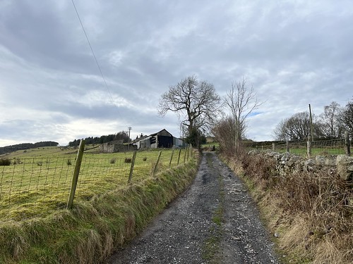
After Roughlee village and a short climb I joined a bridleway that would take me back to Barley.


Reaching the village I visited the river and submerged my booted feet to wash off as much as the mud as I could before returning tot eh car park. The Cabin was busy with all the tables outside taken and a queue of customers purchasing drinks at the hatch.
Time to change out of my boots and gaiters (the latter had kept my trousers remarkably clean!) and set off back home.