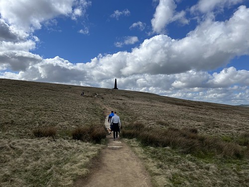
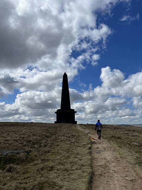
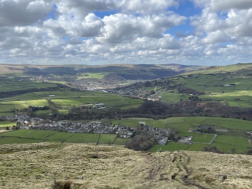
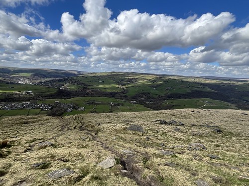
A walk on Brinscall Moors?

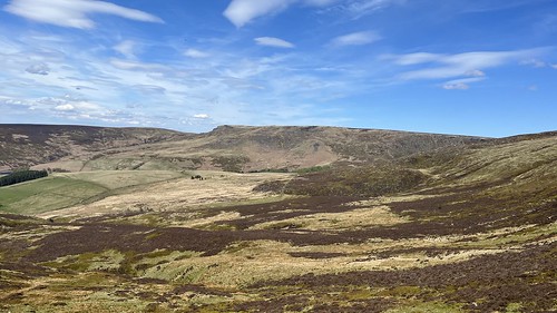
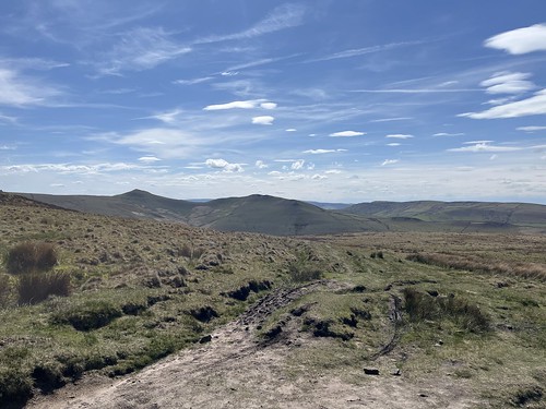
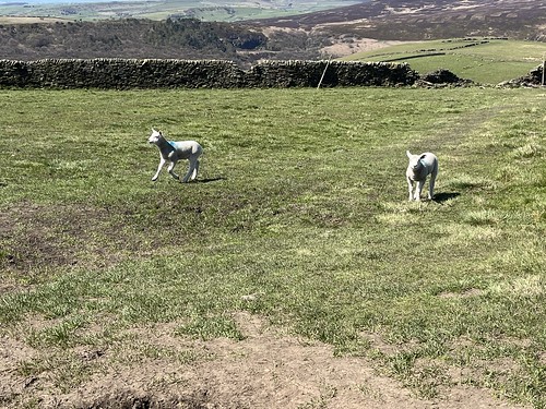
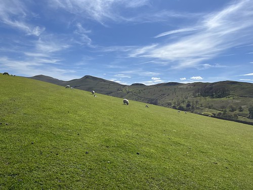
I hadn’t been long back from the Peak District. Two days later the weather was looking good and I didn’t feel like sitting in front of a computer screen, so Wednesday afternoon I turned of the computer and drove over to White Coppice to head up onto the moors.

A few months ago I came across a website about “The lost farms of Brinscall Moors” which was inspired by a book by a local author, David Clayton who had conducted some extensive research about the ruined farms up on the moors. Intrigued, I bought a copy of the book. I subsequently found another website and a Facebook group all inspired by the lonely ruins.

At one time there were over 50 farms up on the West Pennine Moors. They were all smallholdings based on rearing sheep and the occupants would typically participate in the “dual economy” of domestic textile production or working in local factories. It would have been a hard life up there, scratching a living. It came to an end, though, following the construction of the reservoirs at Roddlesworth, Anglezarke and Rvington, with the channel known as the Goyt that connects them, all at the foot of the moors. Between 1898 and 1902 the farms were subject to compulsory purchase by Liverpool Water Corporation (who owned the reservoirs). Tenancies were not renewed – the residents were, in effect, evicted – and the farmsteads demolished as a measure to prevent contamination of the water from sewage and animal waste.

The truth is, though, that by the turn of the 20th century the way of life was changing. Subsistence farming had become unsustainable and many, if not most, of the occupants of these buildings would have been working in the mills and factories in the towns and villages below the moors. Living conditions in the moorland farmsteads would have been poor and probably largely unhygienic and some were already being abandoned. It’s pretty certain that even if the purchase hadn’t happened there wouldn’t be many people living up on the bleak moors today. However, the process would probably have been more gradual and it would be interesting to find out how the occupants were treated after the purchase. I doubt there would have been much concern for their welfare.

I’m very familiar with several ruins up on the moors. I’ve passed Drinkwaters, on the way up to Great Hill countless times since my teens, often stopping there for a break (I even camped there with friends when I was about 15). I know a few others well, mainly on Anglezarke Moor which the book, that covers the ruins on what the author refers to as “Brinscall Moor”, doesn’t include. There’s no mention of “Brinscall Moor” on the OS map. It’s the name David Clayton decided to adopt for Withnell, Wheelton and Heapey Moors, including Great Hill. But his research didn’t extend south of Dean Black Brook on to Anglezarke.

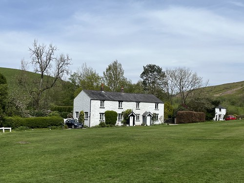
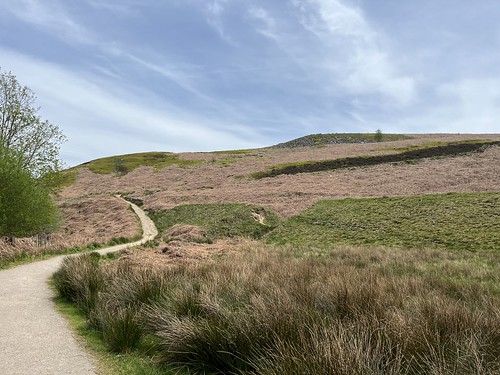
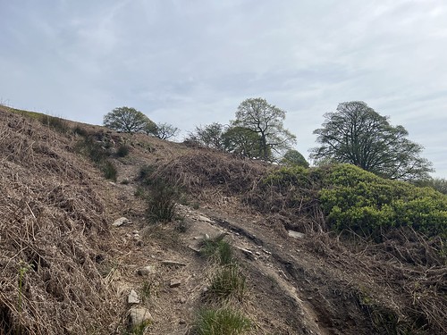
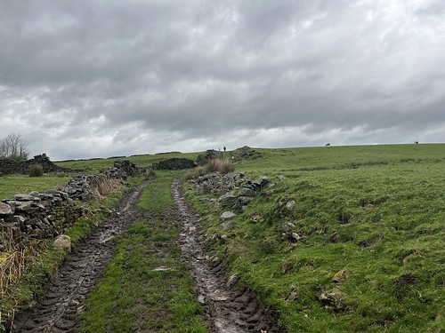
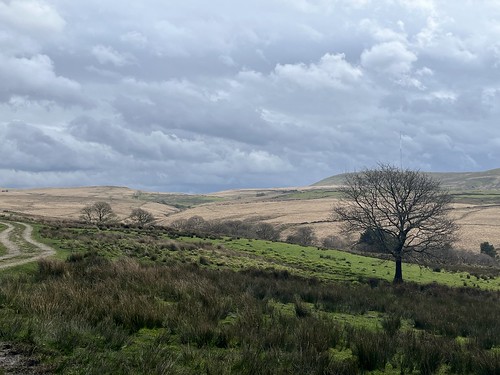
I parked up in White Coppice and joined the path that climbed up towards the moor.

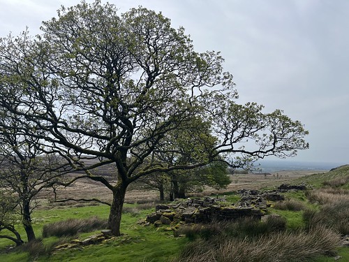
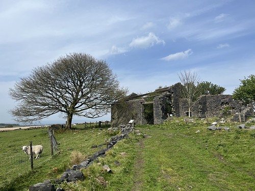
At the top of the climb I soon encountered the remains of one the farms – Coppice Stile. The farmsteads up here were simple structures – one room deep longhouses with 3 to 5 bays. There’s not much left of it now; just piles of stones

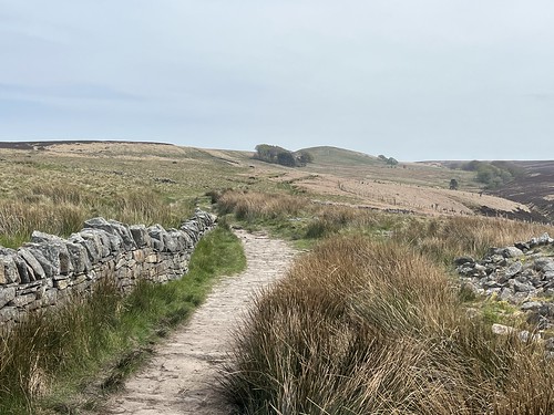
I carried on along the path

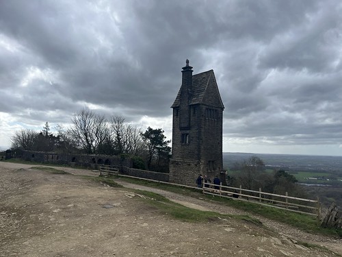
and it wasn’t too long before I reached Drinkwaters, one of the larger farms that was actually occupied until the 1930’s.

Information boards have been set up at a few of the farms by the Wildwoods project.

Carrying I climbed to the summit of Great Hill and stopped for a bite to eat, sheltering from the wind.

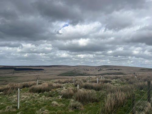
It was a warm, but windy and hazy day. Long range visibility was poor, so no views of the Lakes, dales or Welsh mountains. Even Pendle was obscured in the haze.

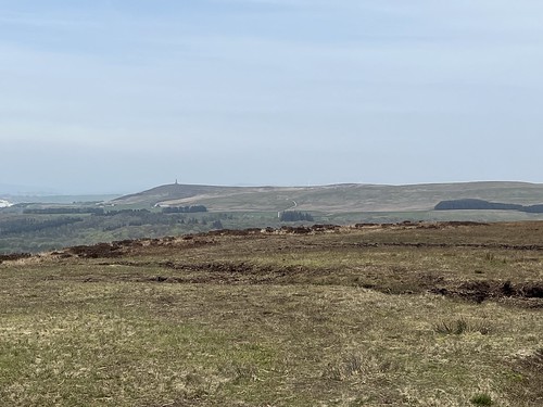
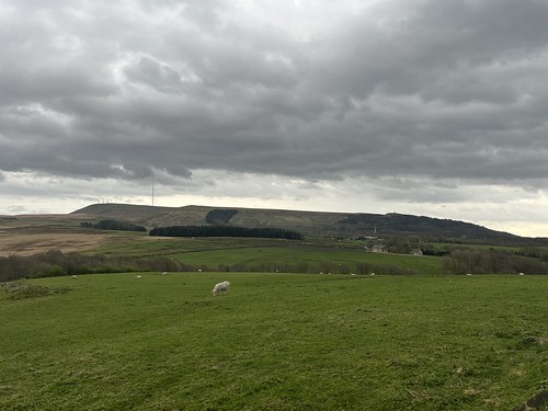
Looking over to Darwen Tower

Time to move on. I statred by taking the flagged path downhill, heading towards Redmond’s and Spitler’s Edges,

but I turned off at the bottom of the hill, taking the path at the foot of Great Hill

until I reached the ruins of Great Hill Farm.

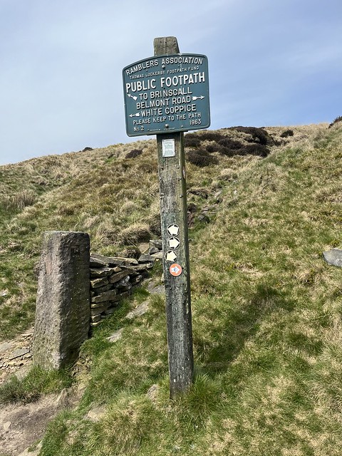
I carried on, passing Drinkwaters and at the junction in the path turned right heading towards Brinscall.

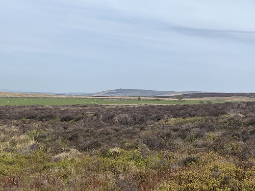
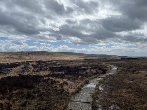
I was on a track now that must have been used by grouse shooters as this part of the moor, flat and covered by heather, was previously shooting territory, evidenced by the presence of many shooting butts, now falling into ruin. Looking across the moor I could see Darwen Tower again.

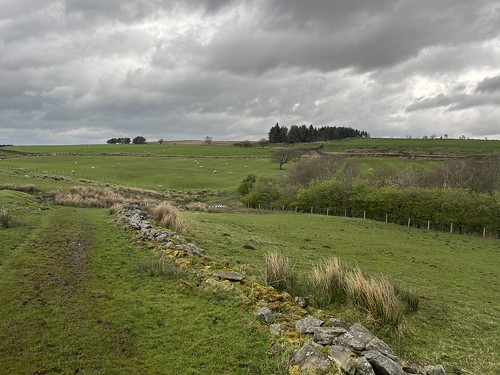
Off the path, to the left, there are remains of yet more farmsteads, but I didn’t seek them out amongst the bogs and the heather, carrying on to the end of the track where it meets the minor road down to Brinscall.

I crossed the road and went through the gate onto a farm track

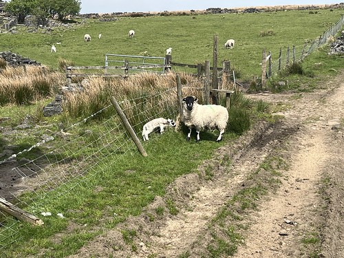
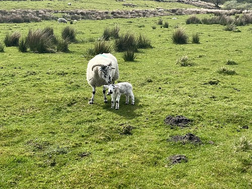
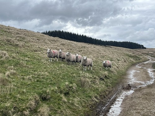
encountering sheep with their lambs – it was that time of year when the sheep are brought off the moor for lambing in the “in bye land”.

Climbing over another stile I made my way to the substantial ruins of Ratten Clough which was only abandoned in 1960. I’m not sure why it survived so much longer than most of the other farms. Possibly the Water Board were willing to allow a small number of larger, more modern (for early 20th century) to survive as sheep farming on the moor still takes place today, albeit with only two farms, both at the foot of the moor.

I started to make my day down the hill, through the fields and then, crossing over the minor road, through Wheelton Plantations.

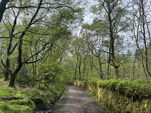
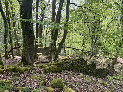
The trees here were panted after the demolition of the farms that were previously on the hillside to make sure no one returned to their former homes. But it made for a pleasant shaded walk on what was becoming a hot, sunny afternoon.

Leaving the woods, rather than follow my usual route back to White Coppice along the Goyt, I took a path that climbed back up the hillside.

Higher up the hillside was covered with Whinberry (wild bilberry) plants. A good place to come in a few months when the berries are out – I love a whinberry pie and haven’t eaten one for years!

More evidence of former farms up here, but I didn’t spend time exploring further. Something to do another time.

The path carried on gradually descending down the hillside – I could see Healy Nab ahead – I used to live on the other side of that hill before I left home for University..

Arriving back at White Coppice I made my way back to my car.

A good walk in familiar territory, but with a different focus.

“Trespassing” on Kinder Scout

A walk that’s been on my bucket list for far too long.

Landowners don’t like the rabble treading on “their land”, and our “right to roam” (which is still restricted in England and Wales) had to be fought for. Without much doubt, the most well known of many actions to fight for access to the moors, fells and mountains was the action in 1932 to trespass on Kinder Scout in the Peak District organised by the British Workers Sports Federation, a radical group who believed in direct action rather than a gradualist approach of trying to persuade an almost immovable object, the landowners, to compromise. Two groups of walkers went up onto Kinder that day – one starting from Hayfield and the second, from Sheffield starting from Edale. There was a confrontation with the bailiffs, who were waiting for them., but they were outnumbered by the ramblers. Back in Hayfield the police were waiting as the protesters returned. The protest resulted in 5 of the leaders being jailed, which raised the profile of the campaign for the right to roam, and at the very least contributed to the rights we enjoy today.

The trespass started with a meeting in a quarry above Hayfield, and that’s where I parked up on the last day of my break in the Dark Peak. I was going to follow in their footsteps – even if I was 92 years late! (At least I didn’t get arrested 😂).

It promised to be a decent day for a walk, as I set off up the road heading towards KInder Reservoir.

The valley looked very attractive in the sunshine.

After a while I reached the reservoir and Kinder came clearly into view.

Looking back across the valley I could see the peaks of Mount Famine and South Head – I’ve plans to get walking on them in the not too distant future.

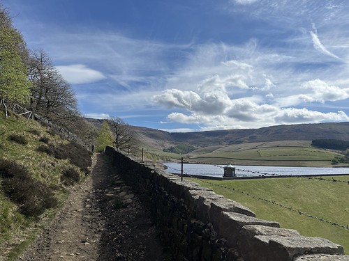
The path took me along the reservoir, which was constructed between 1903 and 1911 and is fed by streams tumbling down from the Kinder plateau.

After the reservoir I reached the bottom of William Clough

The trespassers had climbed up through the narrow valley. This had long been an ancient route over the moors but had been closed by landowners in 1877. However, after a campaign by the o the Peak District and Northern Counties Footpaths Preservation Society, it was reopened on 29 May 1897. A victory for the gradualist approach by negotiation, but most of KInder still remained off limits.
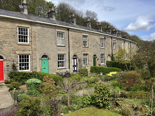
The Hayfield group started their ascent up the clough, so at this point weren’t trespassing. However, at some point they left the path to start climbing the forbidden hillside, and it’s here where the confrontation with the bailiffs and gamekeepers occurred.

There was no confrontation with bailiffs as I climbed gradually up the valley but I had to struggle somewhat against the wind which was becoming stronger the higher I climbed!

Reaching the top of the clough I joined the Pennine Way as it climbed steeply up to the top of the plateau. The trespassers never actually got this far, but they’d made their point.

Although Kinder is classified as a mountain (it’s a little over 2000 feet high) it’s really a high plateau. So once I’d reached the top, the hard work had been done and the going was easy – well, easier as I was now battling against a strong wind.

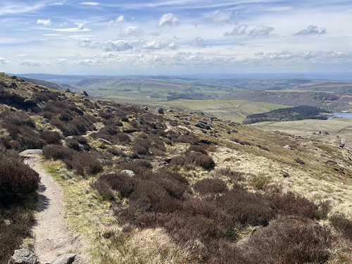
I continued following the Pennine Way along the plateau, with good views back down to the reservoir

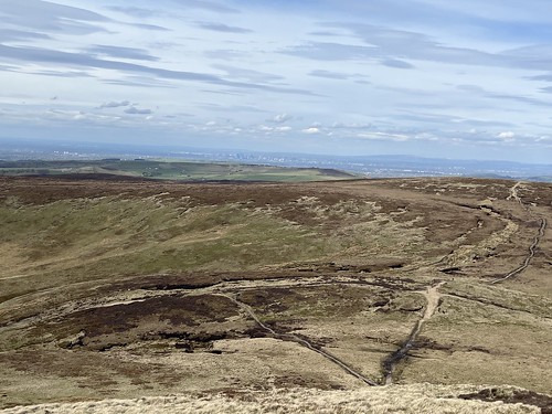
and across the moors to Manchester, the new towers of “Manchatten” clearly visible. (These glass and concrete monstrosities continue to sprout – new ones seem to appear every time I go into Manchester, which is usually at least two or three times a month).

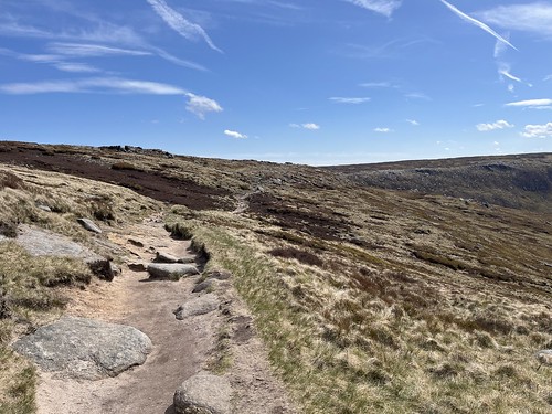
Bleak moorland under a sunny sky.

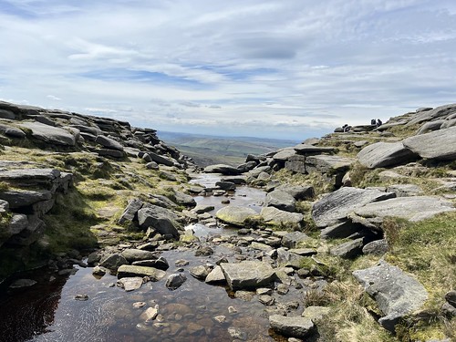
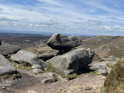
As I continued along the path, I began to encounter gritstone formations formed by the action of wind and rain.

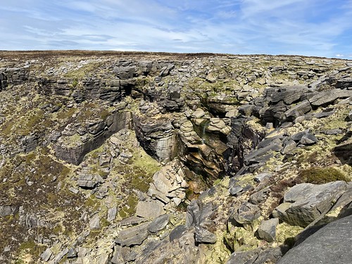
I eventually reached the River Kinder which plunges over the edge of the plateau forming the KInder Downfall. Surprisingly it didn’t seem so deep and was flowing relatively gently – nothing more than a smallish stream. I had no problem crossing.

Further on along the path having crossed the stream, I looked over the edge towards the downfall. I was rather disappointed as the notorious waterfall was something of a damp squid with very little water cascading over the rocks,

but Wikipedia tells us

in spate conditions it is impressive. In certain wind conditions (notably when there is a strong west wind), the water is blown back on itself,

I carried on along the Pennine Way for a while longer, but then after crossing over Red Brook I took a path that gradually descended down the slope back down towards the valley. It was faint in places suggesting that this wasn’t such a well trod route. Most people probably carry on the Pennine way to Kinder Low and make their way down from there (a steep descent) or carry round to Edale Cross and head back to Hayfield from there (a considerably longer route). I was happy with my choice.

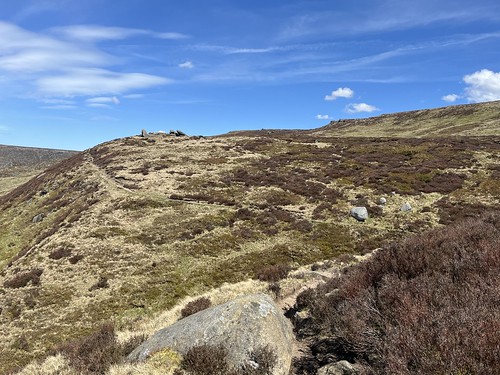
Looking back.

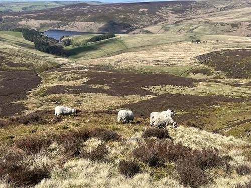
and across the valley.

Until now I’d been surprised at just how dry it had been underfoot, but there were some muddy patches on the path, although easily avoided.

There’s South Head and Mount Famine and ahead.

I eventually reached Kinderlow End

and for the last stretch of my walk made my way through fields of sheep with their lambs.

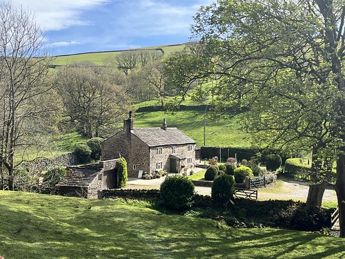
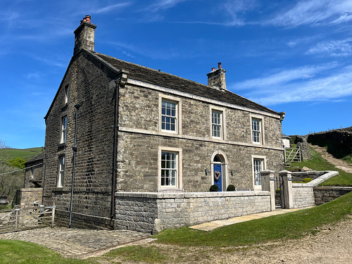
Getting close to the end of the walk now as I joined a minor road after Tunstead House, a rather grand Georgian cottage. Would cost a fortune to buy this place.

It had turned warm in the sunshine as I made my way back to the quarry, where I sat for a while reflecting on an enjoyable few days before returning to the car and the hell of the drive back home.

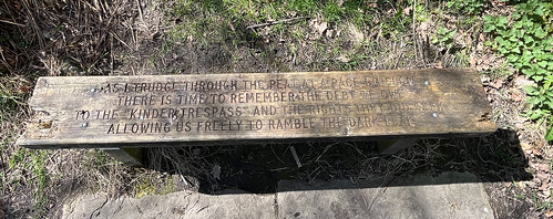
Poem by Derek Ward

There’s some disagreement as to what the trespass achieved. In my view it was an important, symbolic landmark event, the jailing of the 5 trespassers created publicity and raised the profile of the issue. A gradualist approach can only achieve so much and inevitably results in compromise, usually to the advantage of the status quo, as illustrated by the limitations of the Countryside and Rights of Way Act 2000. Direct action is needed if we want to make change. The landowners with their money are powerful and can use the law to their advantage. We only have to look at the recent events on Dartmoor where a wealthy landowner was almost successful in rolling back the right to “wild camp”. The Trespass was a symbolic act and, like others (see John Bainbridge’s book, the Compleat Trespasser) should be celebrated. And indeed it is.

The New Mills Torrs Trail

I returned to my accommodation after the Lantern Pike walk late afternoon. I settled down for a brew but I still had itchy feet so after about an hour I decided to get out for another shorter and easier walk along the torrs trail.

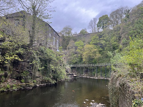
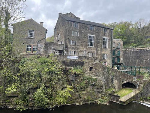
The small town of New Mills sits either side of a dramatic gorge, 100ft deep at its lowest point, called the Torrs which was formed by glacial melt waters at the end of the last Ice Age, about 20,000 years ago. At one point a serious impediment to travel, during the Industrial Revolution the power of the two rivers, the Goyt and Sett that run through and meet in the gorge, was harnessed to run machinery in 5 mills built in the bottom of the gorge – the origin of the name of the town. The Mills closed and went into ruin during the early 20th Century, but the potential of this dramatic landscape and it’s industrial archaeology was recognised by the local council and in the 1970’s the gorge was opened as the Torrs Riverside Park, also known as ‘the Park under the Town’. The gorge continued to be opened up when the Millenium Walkway, a 160m long walkway that spans an otherwise inaccessible section of the gorge, was constructed and opened in 1999.

Literally across the road from my accommodation there was a path that took me under the railway and down to a track that led me to the path along the Goyt and the start of the Riverside Park

The viaduct carrying the Manchester to Buxton railway line over the River Goyt
The River Goyt
The unusual double-decker road bridge over the River Goyt. The lower tier and buttresses were inserted in 1888 to strengthen the bridge.
The viaduct of the Manchester to Sheffield railway behind the remains of Torr Mill which was destroyed by fire in 1912
Millward footbridge
Looking back along the River Goyt
Looking up to the streets of New Mills
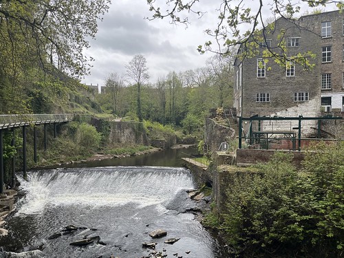
Looking down the river towards Torr Vale Mill and the Millennium Walkway
Torr Vale Mill
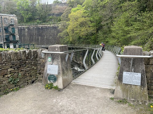
The start of the Millennium Walkway, opened in 1999
The walkway is built on pillars here and is cantilevered out from the retaining wall below the railway. Its design engineer, Stan Brewster, was tragically killed in the London bombing of July 2005.
Looking back along the weir.
Torr Vale Mill
The path continues along the river. A short distance further I took a steep path up the hill towards the railway station
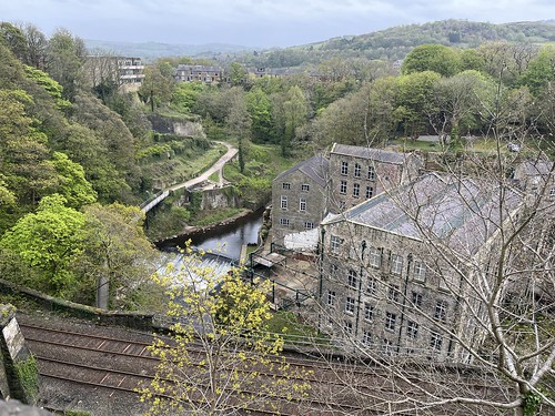
Looking down the gorge from near New Mills Central Railway Station
I carried on along the streets before descending back down into the gorge from Chain Horse House, just visible at the end of this street
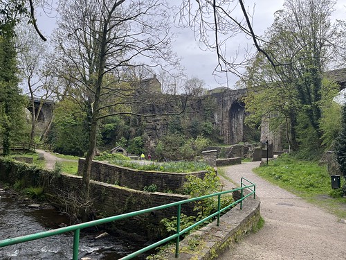
Rejoining the trail by the River Sett back down in the gorge just before it joins the Goyt
Looking back along the River Sett
Returning to the site of Torr Mill I retraced my steps along the River Goyt
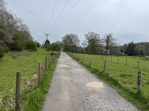
The track through the fields
The track leading up towards my accommodation.

It had been a relatively short walk – about 2 1/2 miles in total but with plenty of interest – both natural features and industrial history. Rain had threatened, but other than a few drops it held off. Returning to my accommodation I was ready for a brew and my evening meal.

Lantern Pike

Monday morning I drove the few miles from my accommodation to Hayfield, just a few miles away and a 10 minute journey. I’d arranged to meet Jacqui in the car park in the centre of the village and she was already there when I arrived, collecting her ticket from the pay and display machine. We greeted each other then I did the same. We booted up and then set off.

Jacqui had suggested a circular route from one of her walking guides that would take us up Lantern Pike, a 1,224 foot hill that overlooks the town. We decided to tackle the route anti-clockwise as recommended in her guide. I later found the same route in an AA guide that went the opposite way round. However, I think we made the right decision.

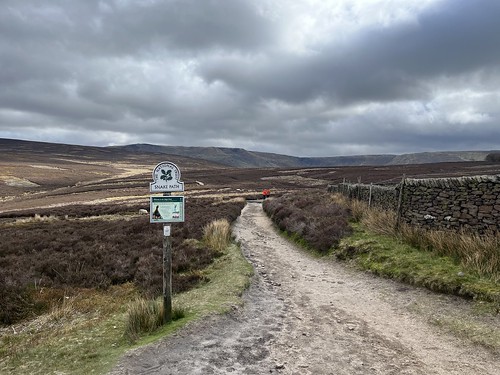
We walked through the village centre and headed up the Kinder Road and after a few hundred yards turned off to head up the Snake Path. A hundred or so years ago, when working people were just beginning to have time off work for leisure, walking became a favoured pastime for many workers from the industrial cities circling the Peak District moors. However, these were largely owned by rich landowners who kept them to themselves so they could go shooting grouse with their wealthy mates a few times a year. Gamekeepers were employed to keep rabble (like me!) from walking and “trespassing” on the hills. But the ramblers started to campaign and organise to gain access to the wild moorland. The Snake Path was one of their first sucesses. It opened in 1897, following campaigning by the the  Peak and Northern Footpath Society, formed to establish this route as public right of way.

As we turned onto the path we passed a plaque celebrating another, more famous, action.

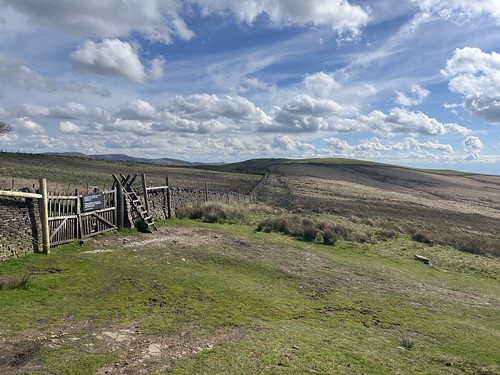
We were soon heading up onto the open moor.

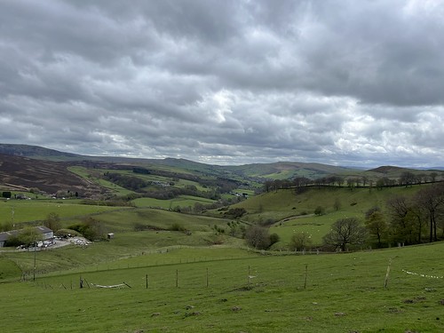
As we climbed there were views back down to Hayfield.

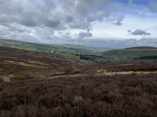
The wild moor land
Looking across to Mount Famine and the South Head

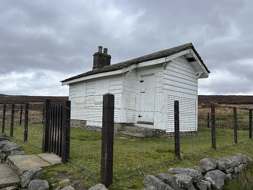
We reached a junction where we were due to turn left. We could see a white building a little way ahead, just off our route. Curious, we diverted to take a look.

It was a shooter’s hut. They must still come up here to slaughter the defenceless birds. I’ve never understood how grown men (and some women, I suppose, although it’s usually wealthy men) can take pleasure in killing.

We returned to the junction and rejoined our route starting to descend down towards the Hayfield Glossop road.

We had to cross the busy road and then joined a minor road before taking a path through the fields. The landscape was different on this side of the valley – greener and more cultivated farmland.

However, we were soon back on rougher ground starting the ascent up towards Lantern Pike

We were now following the Pennine Bridleway – I come across this quite a lot when walking in the Pennines – but veered off for a short pull up to the summit of the hill, which gets its name from being the site of a beacon in the past.

There were good views all around

Looking down to Hayfield from the summit of Lantern Pike.

After taking in the views we started our descent arriving at the small settlement of Birch Vale

where there was a popular cafe. We stopped for a coffee and a naughty cake. Being a reasonably fine day and close to the Sett Valley Trail, a 2.5 mile route between New Mills and Hayfield that follows the course of a former railway line. The cafe was busy but we managed to find a table outside.

After chatting for a while we set off to walk along the trail, with views back up to Lantern Pike, returning to the car park. We said our goodbyes and promised to meet up for another walk soon.

Wandering around Lyme Park

Last week was a busy week for walking. I’d arranged to meet up with Jacqui, a friend I’d made during my walking holiday in the Austrian Alps last July, who lives in the Peak District, on Monday. She’d suggested a route starting from Hayfield and I was originally go over for the day by train, but I decided this would be an opportunity to get away for a few days and finding a reasonably priced flat in New Mills, I booked a stay for a couple of nights.

The northern part of the Peak District is closer to us than the Lakes, but I set out late Sunday morning, soon remembering why I don’t often drive over to the Peak as I sat in heavy traffic on the M61 and M60 trying to get around Manchester. It was the same on the journey back home a couple of days later. Still, I had a good few almost completely rain free days, good walking, and, for one of the days, good company.

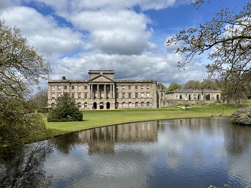
I’d decided on a visit to Lyme Park, which I’d pass on the way to New Mills. It’s a National Trust property with a large house, which featured in a well known TV adaption of Pride and Prejeudice, the one where Colin Firth emerges from the lake in front of the house. I wasn’t intending to look round the house. The property has an extensive estate which includes a formal garden, parkland, woods and moorland with opportunities for good walks. I think I’ve only been there twice before, once as a child when we’d been to see my uncle who lived in nearby Marple, and then much later when I went for the day with my family when the offspring were school children.

The park is quite extensive and presents some good possibilities for walks that get away from the crowds that cluster around the house and gardens. The Gritstone Trail and the Peak District Boundary Walk routes both pass through the park, which is included within the Peak District National Park boundaries.

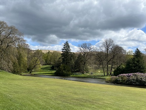
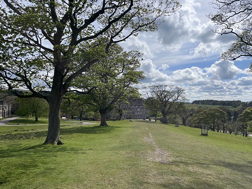
It was a mixed sort of day, cloudy with spells of sunshine but with a strong breeze. Parking up I decided to start by having a look around the formal gardens.

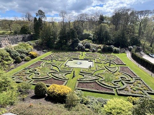
Looking over the lake to the house and Orangery. No sign of Colin Firth 😂
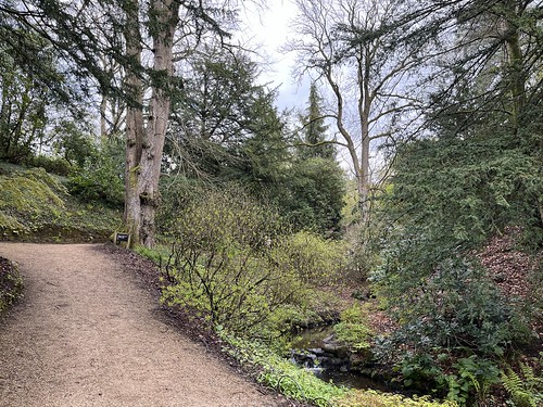
Woodland in the garden
Early in the season, there weren’t a lot of flowers in bloom. Plenty of bluebells in the woods and daffodils in the garden
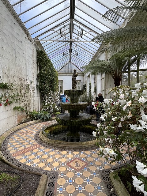
Inside the Orangery
The “Italian “Dutch Garden”

Afterwards I felt like a brew. The cafe in the house was busy so I made my way over to the Timber Yard, a complex of buildings where there’s a cafe and shop. Time for a brew and some cake to boost the blood sugar ready for my walk around the grounds.

Consulting the map provided on entry, I worked out a route of about 5 miles around the 1,400 acres estate, starting from the Timber Yard. I started by heading along the path that runs more or less parallel to the river, which took me through pleasant woodland

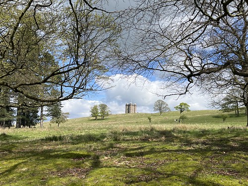
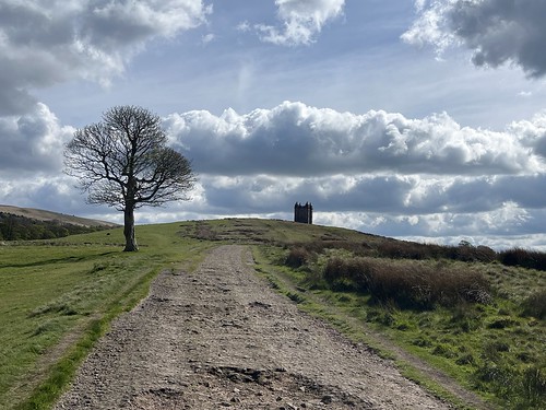
Looking up to the Cage

The route looed up out of the woods on a track leading to the main entrance to the park which I drove through a couple of hours earlier. At the lodge I turned back towards the house on the road before turning off onto a path that climbed up the hill towards the Cage.

As I climbed I started to feel the full force of the strong breeze.

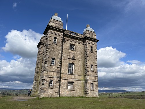
The Cage, prominently sited on a hill so it can be seen throughout much of the park, is a former hunting lodge – a very grand one – that was used to host feasts for the guests on the deer hunt. According to the National Trust website, its name reportedly comes from its use in the 17th century as a holding prison for poachers awaiting trial. Apparently it was later used as a park-keeper’s cottage.

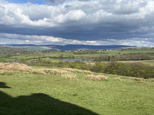
There were good views of the surrounding countryside including the mass of Kinder to the south east beyond New Mills.

Looking towards Kinder in the distance

I carried on along the track which started to descend towards the house.

A little way before reaching the mansion I turned off and set off on a track through fields and woodland up the hill towards the wilder moorland.

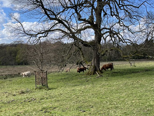
Highland cattle

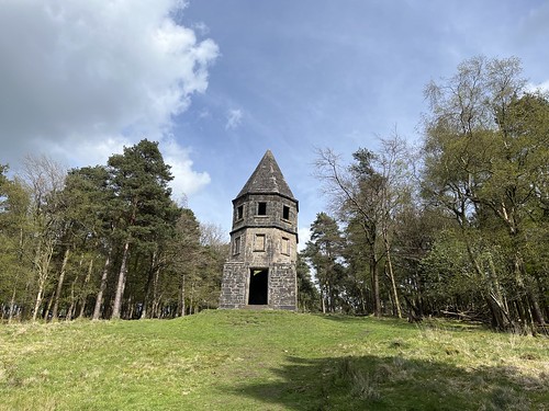
I was heading to another structure, a folly known as the Lantern

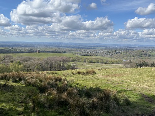
I sheltered inside the structure from the wind for a while, taking in the extensive view in the direction of Manchester

then climbed through Lantern wood, emerging at the top of the hill on the edge of moorland

I climbed up the hill

and then turned west, walking back through the woods

before re-emerging on the rough moorland

I carried on along the ridge for a while, getting battered by the cold wind.

Reaching the entrance at Bowstones I took the path descending down the hill

towards Knightslow wood.

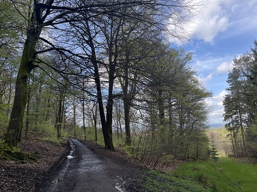
I took the track through the woods

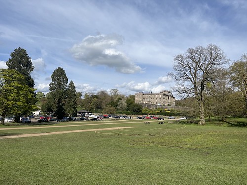
catching a view of the house through the trees

Leaving the woods I made my way along the track back to the car park.

It had been a good walk, through varying countryside and I can see potential for other walks in and around the park. Disley station is close by so I’d be able to avoid the hell of the M60 if I planned my visits carefully to avoid the rush hour trains.

The weather had brightened up during the afternoon, although it was still windy, giving me hope of a decent couple more days in the Peak District as I drove over to my accommodation on the outskirts of New Mills.

Ingleborough and the Norber Erratics

Fed up of tramping through mud, on one of my non-working days when the forecast was for some decent weather, I decided to head to limestone country last Wednesday. Letting the traffic die down I set off from home at 9:30 and drove over to Clapham, on the edge of the Yorkshire Dales. It didn’t take long; less than 90 minutes. I thought I’d try tackling the shapely Ingleborough, with a mind to return to the village via the Norber erratics if I had the energy. A fairly big “if” as that would be a lengthy route.

After parking up I booted up and dithered about whether to wear my gaiters. I decided I would but it turned out that on well drained ground I didn’t need them. But better safe than sorry. I’ve had enough of muddy pants after the past few months of seemingly endless rain. (That’s an exaggeration, of course, but it’s seemed like that).

I set off and walked through the village. Being mid week and out of the holiday periods it was quiet. There were a handful of other walkers about and a coach party of primary school children who I soon left behind. A young couple had left the car park a little before me and we ended up passing each other several times as we made our way to the summit.

I decided to pay the £2:50 charge and head up through the woods belonging to the Ingleborough Estate up to Ingleborough Cave (which also belongs tot eh estate). You can avoid paying as there’s a couple of alternative routes, but I reckoned that would be a gentle start to the walk through pleasant woodland where the bluebells were beginning to bloom. There was a pungent scent in the air as there was plenty of “stinking nellie” (wild garlic) springing up too.

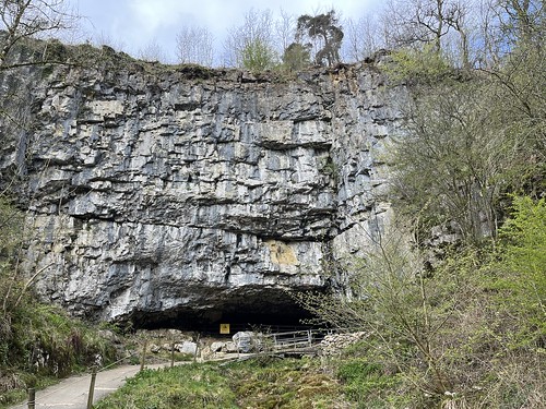
Ingleborough Cave

After passing Ingleborough cave I was out in open country, making my way up towards Trow Gill

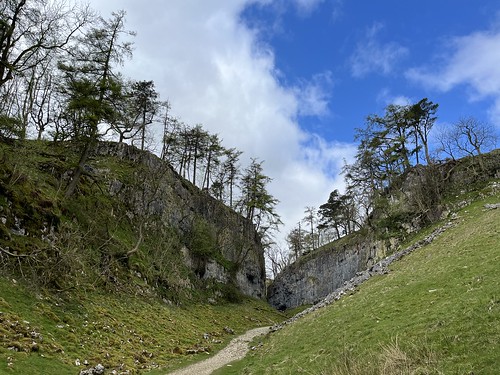
The valley started to narrow

the limestone walls of the limestone gorge looming over the young couple who’d overtaken me as I stopped to take a photo, kindly providing some scale!

The high limestone cliffs closed in to form a narrow gap

A short scramble at the end and then I continued up the valley.

One theory is that there was an underground cave system here and that the gorge was formed when the roof collapsed. Alternatively, it could have been a glacial meltwater channel, similar to Conistone Dib I walked through a few weeks ago. Who knows. But it’s certainly an awe-inspiring sight as you walk through the ravine with cliffs towering above you. It’s quite mind boggling to think that the limestone was formed under a tropical sea from the remains of dead sea creatures over many millennia. It’s hard to imagine just how many of them died to form the thick layer of rock here and the limestone cliffs and pavement in this part of the Dales.

Carrying on and emerging from the valley Ingleborough came into view.

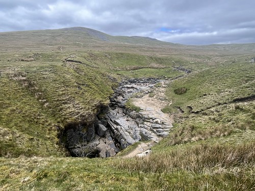
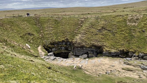
I deviated off the main path slightly to have a look at Gaping Gill a 322 ft deep pothole which leads to one of the largest known underground chambers in Britain.

Water from Fell beck. the stream that cascades down into the cavern, eventually re-emerges next to Ingleborough Cave.

The stream re-emerging next to Ingleborough Cave

I caontinued on my way heading towards Ingleborough. The route initially climbing steeply up a paved path towards the subsidiary summit of Little Ingleborough, which, despite its name isn’t very little.

There was a cold wind blowing from the north east and walkers descending from the mountain all commented on how cold it was at the summit.

I stopped for a while about two thirds of the way up to refuel before the final push. In fact, most of the hard work is dome on reaching the summit of Little Ingleborough. After that, there’s a flattish ridge before a final relatively short steep pull to the summit plateau

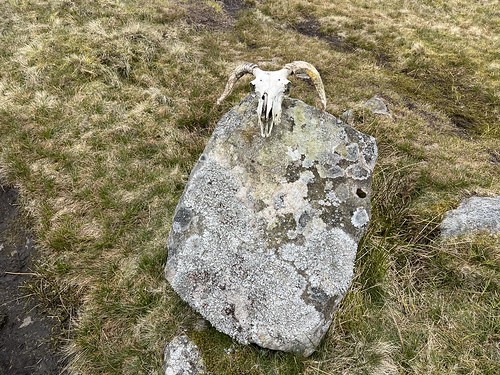
On the way along the ridge I passed this fellow who must have given up the ghost.

Not too far to go now.

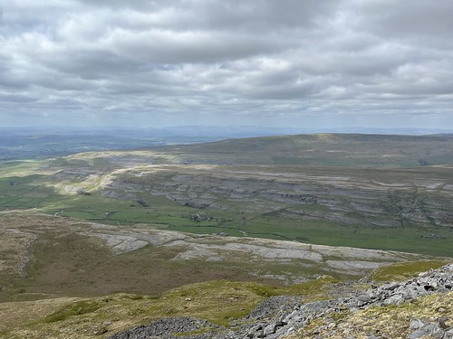
Reaching the summit plateau I peered over the edge to take in the view of the hills and limestone pavement to the north. Long distance visibility wasn’t too great although I could just about make out the Lakeland fells over the waters of Morecambe Bay.

I stopped at the summit shelter for a while for another bite to eat and chatted with the young couple who I’d been overtaken and being been overtaken by several times on the way up. They were from Bristol and were having a short holiday in a cottage at Ribblehead. We took a group selfie but I’ve not included it here as I never post my own picture on this blog – I’m much too camera shy.

After a while I set off along the ridge overlooking Ribblehead and Whernside

and then continued along the path in the direction of Horton in Ribblesdale.

It levelled out and as I made my way towards the east, the bulk of Pen-y-Ghent started to dominate the view

I soon reached the limestone pavement which covers much of the ground around hereabouts.

Reaching the Pennine Bridleway and I turned right heading west. My intention was to follow this route for a while before veering off to visit the Norber Erratic field and then back to Clapham.

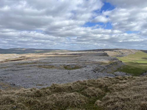
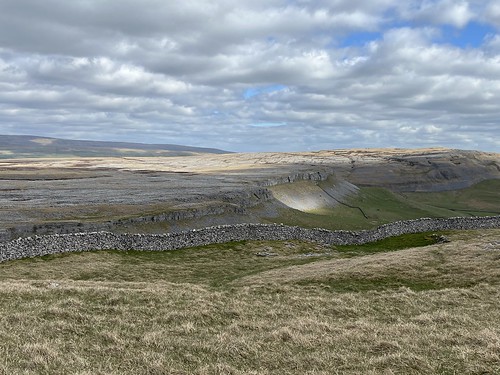
I passed lots of limestone cliffs and pavement. It dominates the landscape around here.

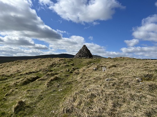
There was a fair network of paths criss-crossing the moors around here that aren’t marked on teh OS map and I veered off my intended route a little. But spotting a distinctive cairn that I recognised from my last visit to the area I headed towards it and joined the path that I knew would take me towards Norber.

Ingleborough re-emerged on the horizon. The weather was improving a little and although there was still a cold wind, a little shelter with the sun beating down started to warm me up. My gloves could now be removed and pocketed, but I later found one had dropped out somewhere. Luckily I didn’t need them again but a new pair is going to have to be purchased.

The path passed through a narrowing limestone gorge between stretches of pavement

and then opened out with good views over the countryside, which was now being lit up by the sunshine breaking through the clouds.

Pendle Hill could now be seen in the distance.

I started to approach the bolder field.

the fields here are covered by these glacial erratics, rocks that had been picked up and carried by a glacier during the ice age and then dropped some distance from their source once the glacier melted.

The erratics here are gritstone rocks, but they were deposited on limestone. Over time the softer limestone was eroded away by acidic rain, but the hardier gritstone, much less susceptible to erosion, sheltered, protected and preserved the limestone underneath them So today, many of the large boulders are “propped up” by the limestone, standing proud above the ground, perched on their “pedestals”.

I followed the path, descending down towards the path back to Clapham. There were more boulders scattered on the slopes and in the fields below

I carried on the path heading below the high limestone cliffs towards Clapham

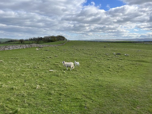
through fields of sheep with their lambs. I realised that I hadn’t seen many so far this year, reflecting my limited walking opportunities due to the poor weather.

I joined the old Thwaite Lane which took me back to Clapham

This had been a long walk – at just over 14 miles, somewhat longer than I’d intended. Despite the climb up the mountain of Ingleborough quite a lot of the route was relatively flat, particularly on the return leg which also included significant downhill sections – some rather steep and not so easy on the knees. It had been a long day but I’d made the most of what might be a weather window (the rain returned the next day). and I’d enjoyed the walk. I hope to get back out again very soon.

Out on the wet, wild and windy moors

Mistake number 1 – Arriving at the car park at Rivington and sorting out my rucksack I realised that I’d left the sandwiches I’d made up after breakfast back at home. Not a good idea when you’re diabetic and planning a walk up on the moors. Oh well, rooting around in the pack and in the car I gathered together several Tunnocks bars – they’d have to do.

I’ve not been up on the moors for a few months. Knowing that they’d be a sodden muddy mess after all the rain we’ve had the past few months I’ve avoided them. But I needed to get out and there was a weather warning of high winds for the Lakes and North Wales with Storm Kathleen coming in, so I decided to stay local and head up to what my mother used to call “our little Lake District”.

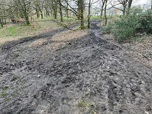
I hadn’t got very far from the car before I encountered my first stretch of slutch. I was glad I’d worn my gaiters and given my boots a good waxing the day before. There was going to be a lot more of this stuff.

Slutch

I’d decided on a route to minimise walking on the muddy and boggy ground, initially making my way down to Upper Rivington Reservoir, taking the track along the east side and making my way towards Yarrow Reservoir. Plenty of puddles, but not too bad underfoot.

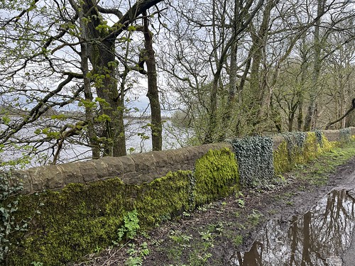
Moss covered wall beside Upper Rivington reservoir
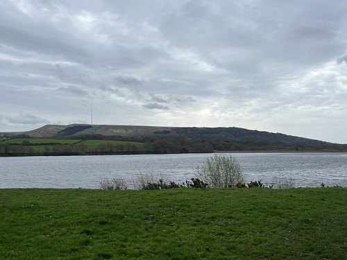
Walking beside Yarrow reservoir
View of Winter Hill and Rivington Pike under a grey sky

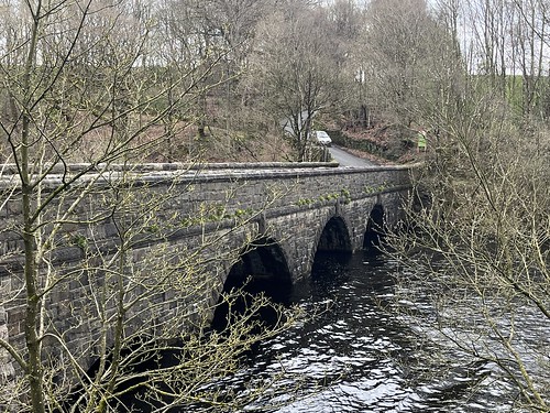
Reaching the minor road I turned right towards Allance Bridge where the River Yarrow feeds into the reservoir that bears its name. there used to be a farm here at one time. All gone now and the remains under the water.

Allance Bridge

I took a risk here and climber over the stile to take the track up through the fields. I knew it was going to be wet and muddy, especially where the livestock had bunched together passing through the gates. I wasn’t wrong but it wasn’t too bad, considering, and I was able to dodge the worst of it. So far, so good.

But whatever the conditions underfoot, this is a favourite route. It’s usually fairly quiet and there are good views out over the moors. I could hear the larks and other birds singing and cry of a curlew which I spotted it flying across the fields a short distance away.

Reaching the track from Jepson’s Gate I headed eastwards towards the moors, cutting through the fields to visit the memorial to the Wellington bomber that crashed close to here during the WWII.

I descended into Lead Mine Clough and crossed over Limestone Brook

before climbing out of the valley on the farm track that took me up onto the moor.

The wind had been picking up but it wasn’t too strong, and it was quite warm. No need for anything than a lightweight fleece hoodie.

I’d orignally intended to continue on the track around to Lower Hempshaws but reaching the intersection with the path that headed up towards Redmond’s Edge for some bizarre reason I decided to head up there and make my way along the Ridge towards Horden Stoops. Mistake Number 2 – I knew it was going to be wet and muddy and, of course, it was. The Peat was totally saturated.

Bog
More bog

The mistake was compounded when I reached the ridge and turned right towards Horden Stoops. Even though this part of Lancashire wasn’t covered by the weather warning I was now facing the full force of a gale blowing in across the Lancashire Plain. It was hard work and sapped my energy – not so good when I had limited supplies of carbs with me – and I had trouble keeping upright at times. In addition, although most of the path across the ridge is paved (getting across the waterlogged peat would have been impassable otherwise) the ground was so wet that sections of the path were flooded.

Descending down to the road at Horden Stoops I was out of the full force of the wind with some shelter provided by the bulk of Winter Hill.

I made my way the short distance along the road towards the old Belmont Road. The surface here has worn away over the years so it’s now rough going over the stones and rocks that would have underlaid the original metalled surface. There’s gates at either end of the rough track, although I have seen United Utilities 4 x 4 vehicles driving tentatively along here from time to time. Today the gate at the new Belmont Road end was open for some reason and I was overtaken by a Peugeot Picasso. Was the driver following the instructions from a sat nav or was he a local short on common sense? Perhaps I should have flagged it down and warned the driver but they were moving faster than me (not much mind). About a third of the way down the driver had clearly decided he couldn’t go on any further and was trying to reverse back the way he’d come, probably trying to find somewhere to turn around.

The old Belmont Road

I carried on . The wind was still blowing, but there was some shelter from the hills so it wasn’t as bad as up on the ridge. It was still tough going heading into it.

I was enjoying the views over the moors and across the Lancashire Plain, though. However, longer range visibility was poor and the lake District Fells, often visible from up here, weren’t discernible on a grey, stormy day.

Reaching the pigeon tower I made my way down through the Ornamental gardens on the hillside back to my car parked down near the Hall Barn, where a wedding was taking place.

Despite the difficulties I’d enjoyed the walk and I’d managed to keep my blood sugar out of the danger zone by a combination of Tunnocks bars and jelly babies. When I got home my butties were still in the kitchen.

Hebden Bridge, Stoodley Pike and Mankinholes

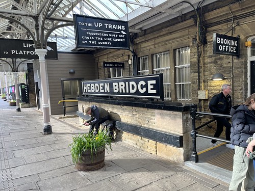
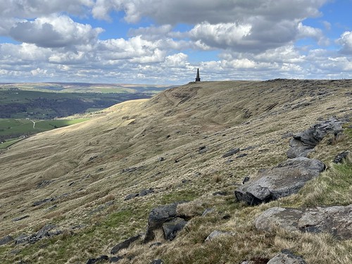
Easter Saturday I took the train to Hebden Bridge. There’s a regular direct service from Wigan and traveling by train I was able to avoid the Bank Holiday weekend traffic. I had a route in mind that would take me up to Stoodley Pike and then on to the small village of Mankinholes before returning via the Pennine Bridleway. A variation of a walk I’ve done before but I like being up on the moors in Calderdale, similar to those on more familiar territory closer to home, but with some differences and a change of scenery.

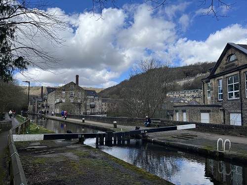
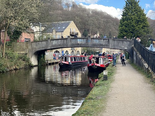
Leaving the station I crossed the park and made my way to the canal, following the tow path for a short distance before turning off to climb the steep hillside to the south, initially up a stone staircase

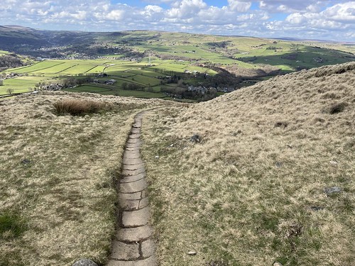
and then the grassy hillside with the good views looking back down towards the valley.

I climbed through the woodland

before crossing a minor road to take the path that continued to climb up the hill before levelling off. Despite the recent rain, up to this point the path wasn’t too muddy. Unfortunately that didn’t remain the case.

Looking over to Heptonstall on the hillside back across the valley

I carried on and reaching a track I carried on across taking a track, marked on the OS map as a lane, which I’d not taken before and which looked reasonably dry underfoot. I could see my first destination, Stoodley Pike with its monument, dead ahead.

Shortly after I passed a farm, the path deteriorated, becoming sticky with mud and at one point had to get through a gate where there was a deep pool of water below the latch which made it impossible to completely avoid. It was deeper than my boot but I managed to minimise my contact with the water by precariously balancing on some stones.

A left turn at the end of the track and then a right and I reached the “crossroads” where I turned left on to the Pennine Way and on to Stoodley Pike.

Being well trod, flags had been laid across the peat, creating a modern “causey” which kept my boots dry as I made my way towards the summit. It was a relatively gentle incline.

Reaching the monument I stopped for a while, taking in the views over the valley while I ate my sandwiches.

Looking over the modern part of Mankinholes towards Todmorden in the distance and the moors beyond
The view towards Bride Stones Moor

After refuelling I set off along the ridge continuing to follow the Pennine Way. A little bog hopping was required but it wasn’t difficult to avoid the mud and pools of water.

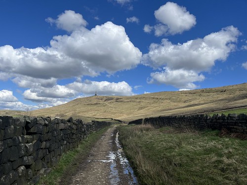
Looking back towards the monument

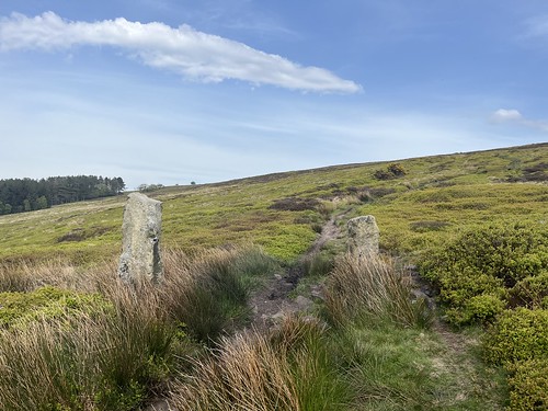
I carried on along the ridge, enjoying the views over the moors and down into the valley, for just over a kilometre, reaching the standing stone at Withens Gate where a number of the paths and former packhorse trails that criss-cross these wild moors intersect. Other than walkers it’s quiet up here these days, but in the past travellers and the packhorse trains would have followed trails high up on the moors rather than have to traverse through the wet and boggy valleys. The trails were the motorways of their day as the main ways of transporting goods such as salt, milk, coal and lime, between the remote settlements and busy towns and cities in and around the Pennines as well as further afield.

The standing stone here isn’t a prehistoric monument but would have been erected as a marker for the packhorse trails to indicate the crossing of several trails. Carry on, and I’d be heading towards Walsden and Littleborough; turn left onto Cragg Vale; but I turned right to descend down towards the old village of Mankinholes.

At one time this was a major route and stone flags had been laid down forming a narrow “causey” to make the going easier for the pack horses and ponies. The flags were well worn indicating their age and the number of feet – human as well as animal – that had made their way up and down the hill.

Lookig down to Mankinholes (on the right) with Lumbutts, with it’s large chapel and mill tower, dead ahead.

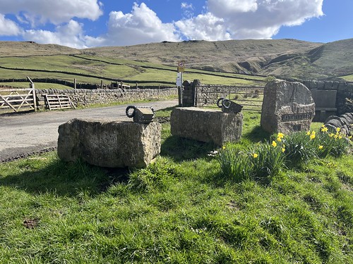
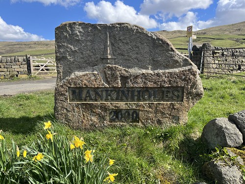
At the bottom of the slope I turned right taking the lane towards Mankinholes a small hamlet at the foot of the moors but high on the hillside above Todmorden.

Stone sheep

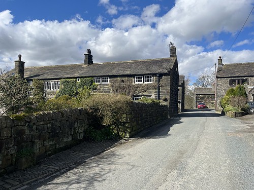
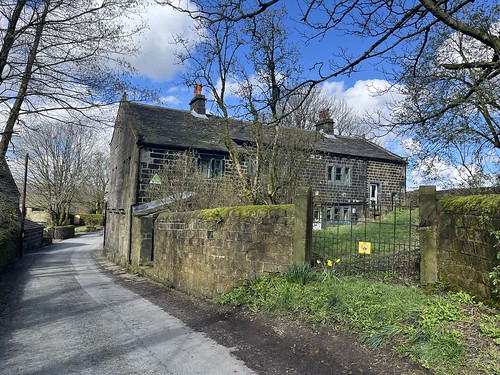
The hamlet, once a centre for hand loom weaving, consists of a cluster of old stone houses

Mankingholes Youth Hostel
This long trough would have provided drinking water for cattle and the round recesses at either end were used to cool milk churns.

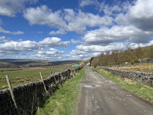
Having made a short diversion into the village I retraced my steps and turned on to the Pennine Bridleway, which passed below Stoodley Pike and on towards Hebden Bridge. The track didn’t look too bad at first but it wasn’t long before I had to negotiate sticky mud and deep puddles

Passing the bottom of the path I took up the Pike, I carried on along Kilnshaw Lane, deciding against taking one of the other possible routes across the fields to avoid the worst conditions underfoot.

After about a mile, I turned left onto the cobbled lane towards the hamlet of Horsehold.

Another collection of old stone houses. The name of the hamlet intrigued me, but I later discovered in a book about the packhorse trails – Seen on the packhorse tracks by Titus Thornber, which can be accessed via the Internet Archive – that the hamlet had been used as an overnight stay for the packhorse trains and I expect that accounts for the name – it was somewhere where the horses were held overnight. That’s my guess anyway.

I found the book very interesting and learned quite a bit even from a relatively quick read. I’ll have to try and get hold of a hard copy. One fact I found interesting is that it explained why there are a number of places, including one on the outskirts of Wigan, called Windy Harbour, which are nowhere near the sea. Apparently they were places where the packhorse trains could shelter overnight out of the wind. There you are, makes sense once you know!

The design of the houses again suggested that they were originally occupied by textile workers, or, more likely people who worked in the “dual economy”, both farming and involved in small scale textile production.

The narrow metalled route now started to descend steeply, winding down towards the bottom of the valley and Hebden Bridge. Part way down I spotted a cross on the other side of a field. Curious – nothing to do with it being Good Friday the day before I hope!

there was a path leaving the road to towards the cross as, of course, I had to take a look.

There were excellent views down and across the valley towards Heptonstall on the top of the hill opposite

and down towards Hebden Bridge.

I carried on down the hill, eventually reaching the canal.

The local Co-op was just round the corner and I called in for some supplies before having a wander along the main shopping street. I popped into the local independent bookshop which was rather busy and managed to avoid temptation and came out without a purchase to add to my tbr pile. Being a fine day during a bank holiday weekend, there were a lot of people about, some walkers but plenty of people just wandering around, shopping, window shopping, having a pint or a brew, the things people do when they have a day off work.

I didn’t fancy fighting my way through the crowds in the town centre longer than I needed to so joined the canal tow path and made my way back towards the train station.

I didn’t have too long to wait on the platform for the next direct train back to Wigan. i was home in good time for my tea.

So, a good day’s walk. There’s other routes to try out round here and I expect it won’t be too long before I’m back again – although I know that there are some engineering works that mean the line will be closed between Manchester and Rochdale for most of September while a bridge over the M62 is replaced. Better avoid the trans Pennine motorway too during that period. The joys of travel in the UK.

Sizergh Hall to Scout Scar

Mud, mud glorious mud. Nothing quite like it……

We’ve had a lot of rain lately with the occasional fine day. Last Monday, determined to make the most of one of the latter but wanting to avoid the muck and slutch which has been an inevitable consequence of the former I decided to head to limestone country where the underlying geology makes it more likely that I’d be able to avoid too much sticky stuff. Unfortunately I had a Zoom meeting scheduled first thing that couldn’t be rearranged, meaning an early start wasn’t possible so I decided on Scout Scar, the limestone ridge to the west of Kendal, starting from Sizergh castle, only an hour’s drive away once the rush hour traffic had died down.

There had clearly been a heavy downpour just before I arrived at the National Trust car park and the sky was more threatening than expected, but that wasn’t going to put me off. So I booted up and set off across the fields

before taking the path up hill.

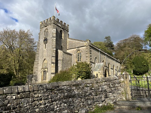
After a short steep drag the path levelled out towards the small church of St John Heslingdon

Signs of Spring in the churchyard

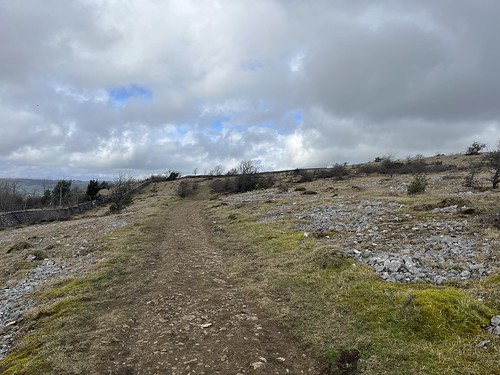
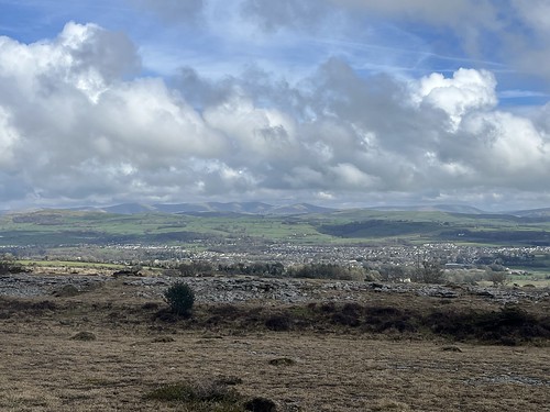
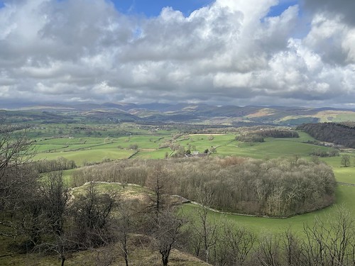
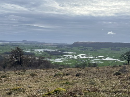
From the viewpoint near the church there were views over to the Kent estuary and Whitbarrow

but although there’s an excellent panorama of the Lakeland Fells from here on a good day, the cloud base was low to the west and they were well hidden in the murk.

I carried on along the narrow road, crossed over the Brigsteer Road and started to make my way up the fell.

It’s a gradual climb up the fell

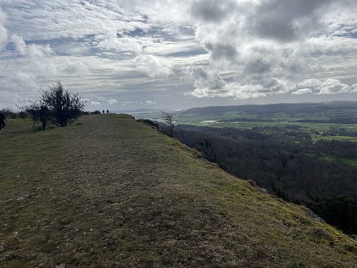
Reaching the top of the limestone plateau I was battered by a strong, cold breeze.

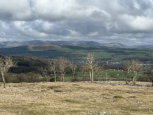
There were good views opened up over to the cloud free Howgills and the Westmorland Borrowdale to the north east, over the town of Kendal

It’s something of a lunar landscape up her – well something like it as the surface of the moon isn’t covered with stunted trees.

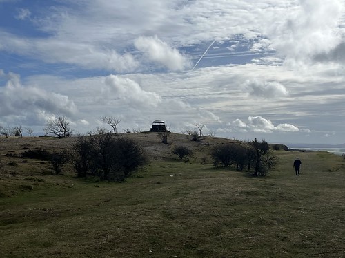
I reached the “Mushroom” and stopped for a while sheltering from the wind while I refuelled. I wished I had a flask of hot Vimto to warm me up.

Zooming in on the Howgills

The Lakeland fells were still “clagged in”, though.

I carried on to the end of the fell

and took in the view over towards Kentmere and the eastern Fells

A good view across the fields. The Eastern were still covered with cloud
Looking across the Lyth valley

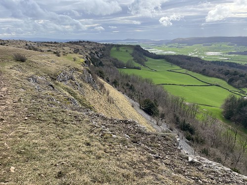
Then turned around and followed the edge of the Scar

looking across to the Mushroom
Looking back along the Scar
Carrying on. Several of the fields in the Lyth Valley were flooded
Flooded fields

I gradually made my way back to the little church

and then down the hill and through the fields returning to Sizergh Hall

where I stopped off at the cafe for a brew and a cake before debooting and setting off on the journey home.

It’s a nice half day walk this. And I’d managed to avoid too much mud! The weather had been coming in during the afternoon and it rained again that night.

Grassington and Conistone

Grassington is one of the “honey pot” destinations in the Yorkshire dales. A very pretty old village that’s easily accessible makes it a big draw with tourists all year round, but it’s also a good starting point for some good walks up on the moors and I had one in mind. So more about Grassington in my next post but this one is going to be about my circular walk over the moors to Conistone and back that would take in some spectacular limestone scenery, a little scrambling and a disappointment! A walk during which I was accompanied by the constant cry of curlews.

It was only a 20 minute drive from Gargrave to Grassington on good roads. I arked up in the National Park run car park and then made my way through the village

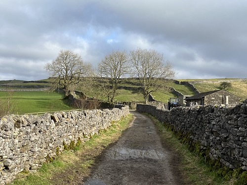
Initially, I was following the Dales Way route which took me out of the village on an old lane

and then through fields towards the moors.

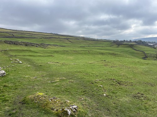
The original settlement was up here, the village gradually moving down the hill towards the River Wharfe over time, but there was lots of humps and bumps visible on the ground that are archaeological evidence of the original settlement.

Taken in November 2008, the following picture from Historic England Low reveals remains of prehistoric settlements and field systems near Grassington (© Historic England Archive) from above.

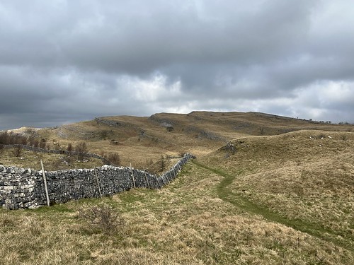
Reaching the open moorland, I turned off the Dales way and took a path that cut across diagonally in the direction of the ancient woodlands which I wouldn’t enter but would skirt for a mile or so.

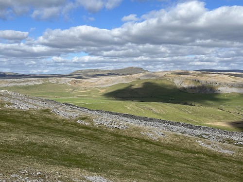
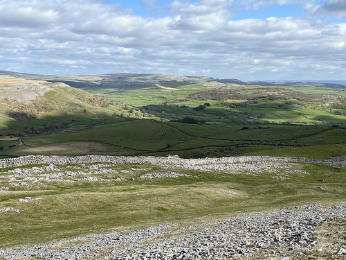
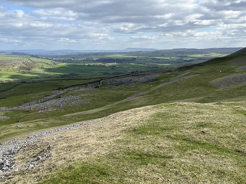
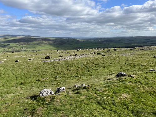
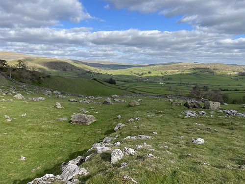
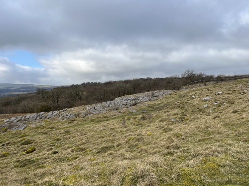
There were some interesting features in this limestone landscape.

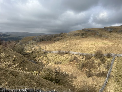
I turned a corner to see this valley ahead of me. It was an extremely steep descent and there didn’t appear to be a path but looking across to my left I could see a clear route on the other side of the wall to my left. I realised I’d strayed slightly off my route and had to back track a few hundred yards to a gate I’d passed that took me to the edge of the ancient woodland. I’d noticed a path on the other side of the gate as I’d passed but it was going in the wrong direction but going through I found my path that ran more or less beside the wall. It descended down into the dip before climbing back up the side of the hill on the other side of the little valley.

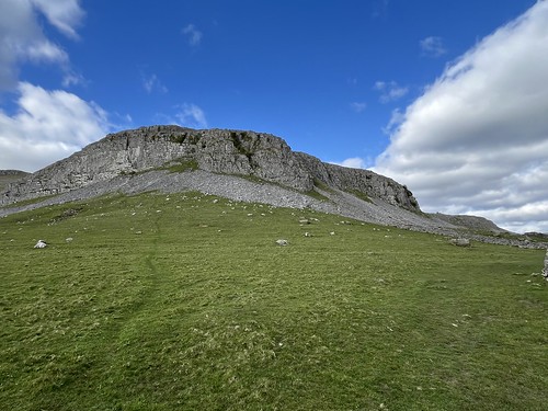
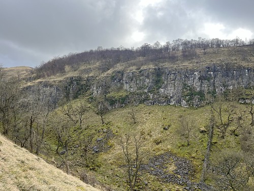
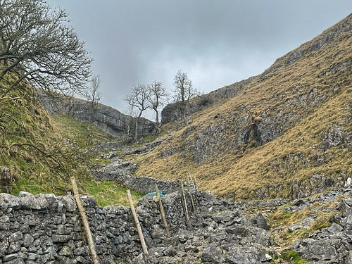
Limestone cliffs
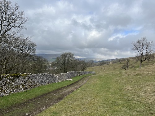
Carrying on along the path
Looking across to the cliffs

I was on the right route that now started to descend gradually towards the small village of Conistone.

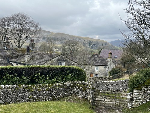
Approaching the village. The dramatic cliffs of Kilnsey Crag visible in the background.

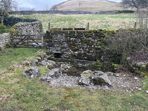
I passed what looked like a well or spring. A little research revealed that this was Conistone Keld

where a spring feeds into three troughs, and the name derives from the Norse word ‘kelda’ meaning spring.  The Keld is an important part of Conistone’s history.  The site is of some antiquity and has been a source of water for farm animals and domestic use for many generations.

https://www.conistonewithkilnsey.co.uk/history
Conistone keld, consisting of three troughs to collect the water and a cobbled area in front. – restored in 2018

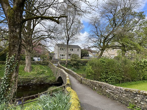
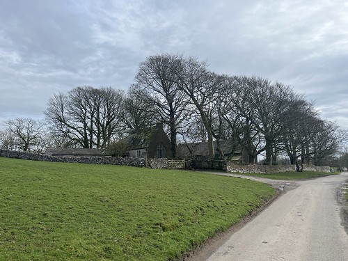
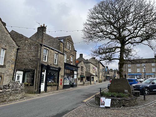
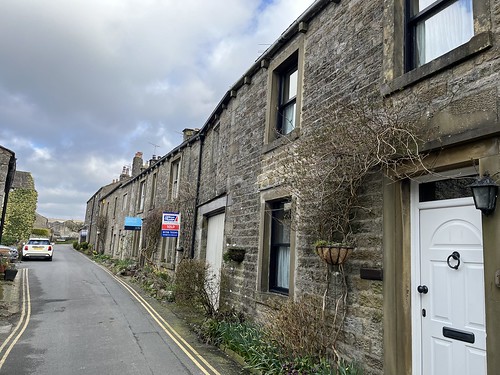
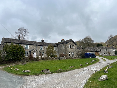
Conistone is another pretty village of old stone houses – former farmhouses and homes of workers in the lead mines. No shop or “services” here, though. Luckily I had plenty to eat in my rucksack.

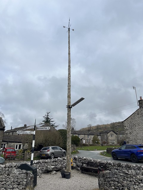
In the small village square there’s a massive tree truck that’s used a as Maypole.

I left the village

and was soon heading back up towards the moors and the peculiarly named, Conistone Dib. What’s a Dib? I’d never come across the term before – except when I was in the cubs (although I think that was really spelt dyb standing for “do your best” followed by dob “do our best”), but their was no sign of of any junior scouts up here today. I’ve tried looking up the origin of the name but no luck (despite trying the KEPN and EPNS websites). Come on Ruth, ‘appen you can dyb for us here!

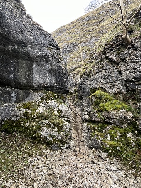
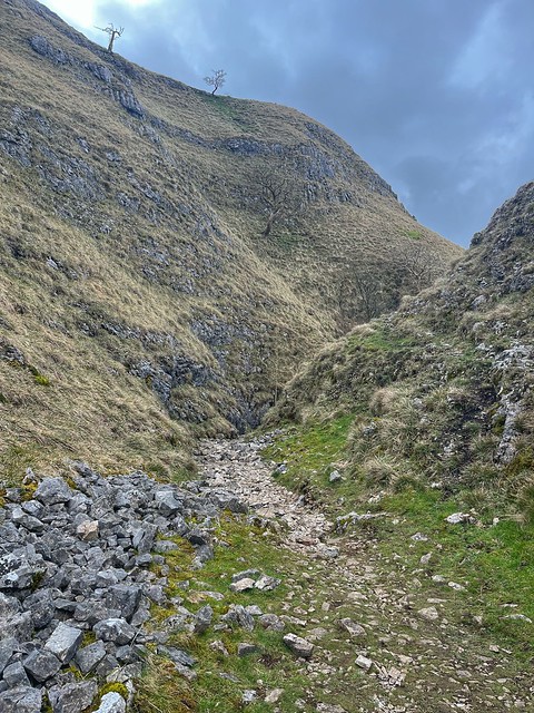
Anyway, the Dib is a very dramatic dry valley, a narrow gorge cut through the limestone by the meltwater from receding glaciers.

Approaching the Dib
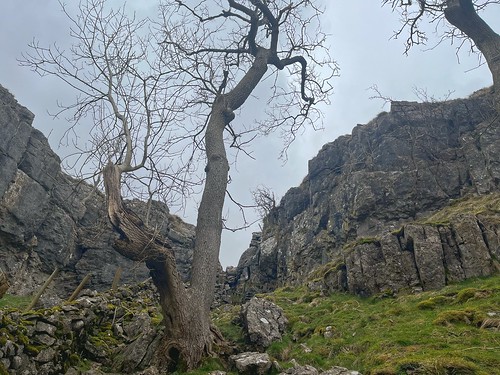
It was a fair squeeze in some places
A bit of scrambing required although this wasn’t high at all, just a couple of feet.

I cam out of the narrow gorge into a wider valley. The cloud had come in during the morning and there was a hint of rain in the air. It was a good time to stop for a bite to eat and I took the opportunity to put the rain cover over my backpack. Carrying on, I encountered the first fellow walker since I left Grassington, who was coming down the valley.

Carrying on there was a fork in the path, one leg going up the hillside, but I carried on along the valley which soon began to narrow considerably

I had another minor scramble to negotiate and then was out of the valley

within a few feet of the Dales Way path. As I emerged through the narrow gap in the limestone, two walkers, an older couple (well, probably a similar age to me!) came over a stile that I was about to cross to join the Dales Way. We started to chat and they told me they were walking on to Kettlewell along that route. they insisted that there was a sign indicating that to join the Dales Way I needed to turn left to take the same path as themselves. Looking at my map I was sceptical but decided I’d give it a go setting off ahead of them. I saw them again shortly afterwards as I soon realised that they were definitely wrong as the path was heading down hill so we all went back, crossed over the stile and then joined the right path. I wasn’t heading back to Grassington quite yet as I’d seen on the map that a little way along towards Kettlewell that Conistone apparently had a pie, and being a true Wiganer (even if an adopted one) I couldn’t give that a miss.

When I reached it I was very disappointed that it wasn’t edible.

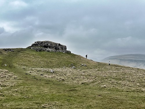
Conistone Pie – a limestone outcrop

Time to turn around now and follow the Dales Way back to Grassington. It was raining a little, just drizzle really.

Heading along the Dales Way back towards Grassington

Reaching the top of the Dib, I took a photograph

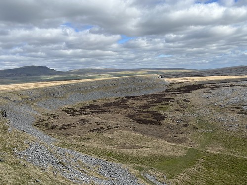
Looking down Consitone Dib. Perhaps. I’m not sure whether the Dib is the narrow gorge at the bottom of the valley. It’s not clear on the OS map. If it is, well you can’t see the Dib in the photo

It was easy going as I walked along the plateau. The cries of the curlews continued – they’d been constant throughout the walk across the moors since I’d left Grassington.

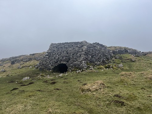
The low cloud created a gloomier atmosphere than in the morning, restricting longer range visibility, but there was plenty to see along the route. Plenty of evidence of human activity in the past as I walked past a disused lime kiln and traces of medieval, and possibly earlier, field systems.

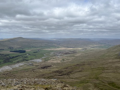
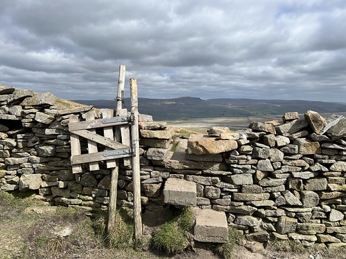
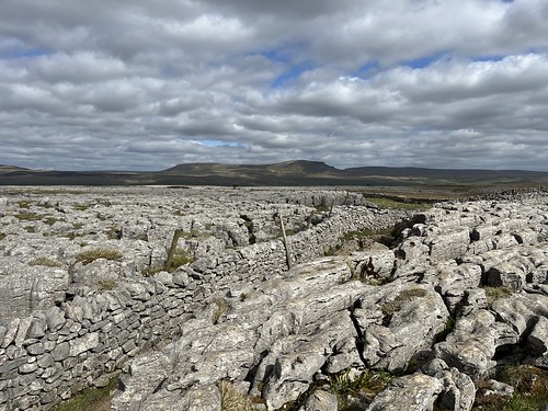
Natural features, too including a large stretch of limestone pavement.

This type of landscape is under threat. In the past it was the source of limestone for the kilns which created lime for the fields more or less in-situ, and they’ve been robbed for stone for gardens.

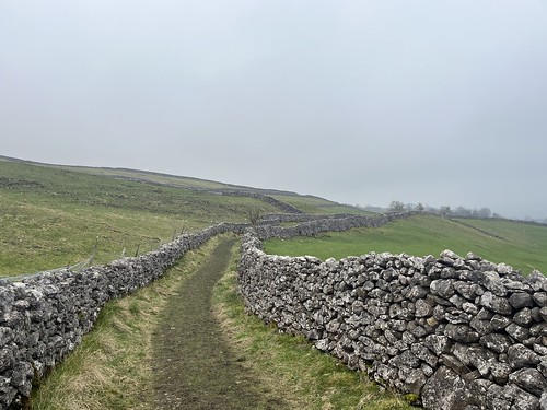
I follwoed the Dales Way for most of the way back to Grassington, but getting close to the village I turned off down a path to the left which led to an old lane (what they’d call a lonning in Cumbria) which took me back to there.

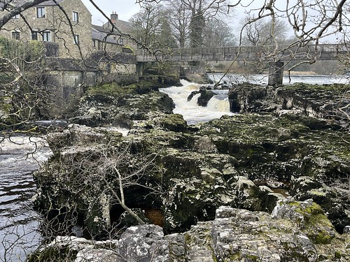
I stopped off for a coffee to give me a kick and then paid a visit to the local independent bookshop, before heading back to the car. I dumped my rucksack in the boot but before setting off back to Gargrave headed down another old lane towards the river to have a look at the weir and waterfall at Linton.

Back up the hill, then, de-booting and setting off for the drive to our holiday home where a welcome brew awaited. It took me just over 20 minutes.

This had been an excellent walk with lots of interest and some drama. It had been quiet, too. I hardly saw anyone until I was on the Dales Way and even then, probably being midweek out of the holiday season, I only saw a couple of handfuls of other walkers. Recommended.