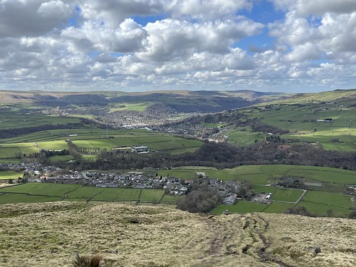
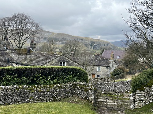
I hadn’t been long back from the Peak District. Two days later the weather was looking good and I didn’t feel like sitting in front of a computer screen, so Wednesday afternoon I turned of the computer and drove over to White Coppice to head up onto the moors.
A few months ago I came across a website about “The lost farms of Brinscall Moors” which was inspired by a book by a local author, David Clayton who had conducted some extensive research about the ruined farms up on the moors. Intrigued, I bought a copy of the book. I subsequently found another website and a Facebook group all inspired by the lonely ruins.
At one time there were over 50 farms up on the West Pennine Moors. They were all smallholdings based on rearing sheep and the occupants would typically participate in the “dual economy” of domestic textile production or working in local factories. It would have been a hard life up there, scratching a living. It came to an end, though, following the construction of the reservoirs at Roddlesworth, Anglezarke and Rvington, with the channel known as the Goyt that connects them, all at the foot of the moors. Between 1898 and 1902 the farms were subject to compulsory purchase by Liverpool Water Corporation (who owned the reservoirs). Tenancies were not renewed – the residents were, in effect, evicted – and the farmsteads demolished as a measure to prevent contamination of the water from sewage and animal waste.
The truth is, though, that by the turn of the 20th century the way of life was changing. Subsistence farming had become unsustainable and many, if not most, of the occupants of these buildings would have been working in the mills and factories in the towns and villages below the moors. Living conditions in the moorland farmsteads would have been poor and probably largely unhygienic and some were already being abandoned. It’s pretty certain that even if the purchase hadn’t happened there wouldn’t be many people living up on the bleak moors today. However, the process would probably have been more gradual and it would be interesting to find out how the occupants were treated after the purchase. I doubt there would have been much concern for their welfare.
I’m very familiar with several ruins up on the moors. I’ve passed Drinkwaters, on the way up to Great Hill countless times since my teens, often stopping there for a break (I even camped there with friends when I was about 15). I know a few others well, mainly on Anglezarke Moor which the book, that covers the ruins on what the author refers to as “Brinscall Moor”, doesn’t include. There’s no mention of “Brinscall Moor” on the OS map. It’s the name David Clayton decided to adopt for Withnell, Wheelton and Heapey Moors, including Great Hill. But his research didn’t extend south of Dean Black Brook on to Anglezarke.
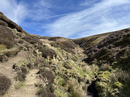
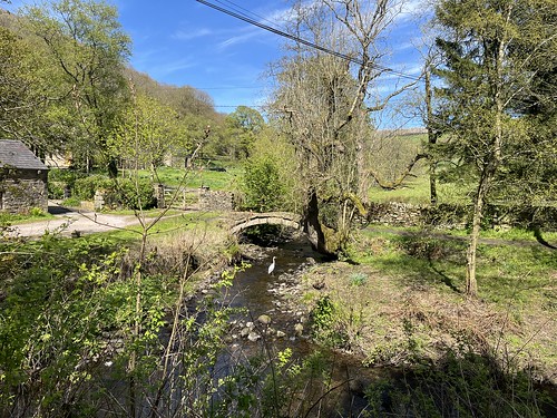
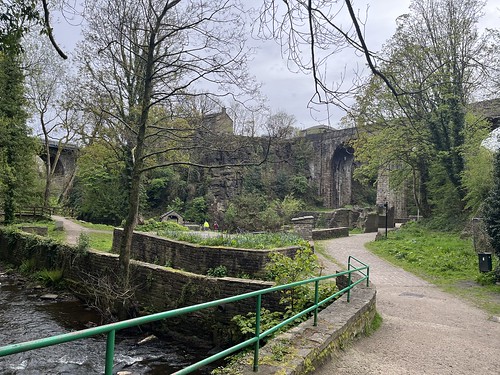
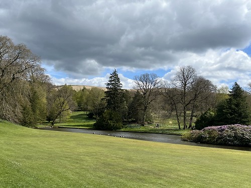
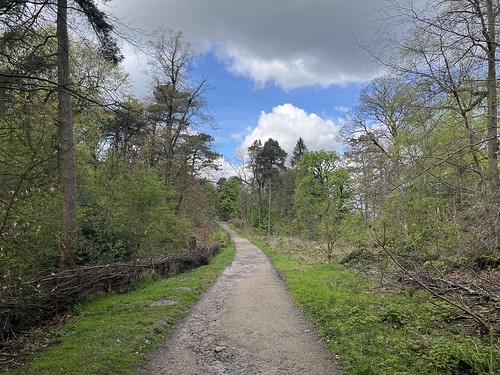
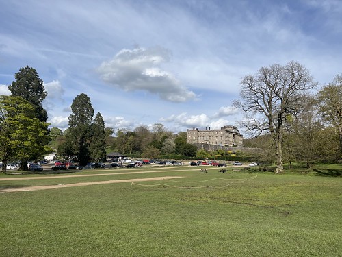
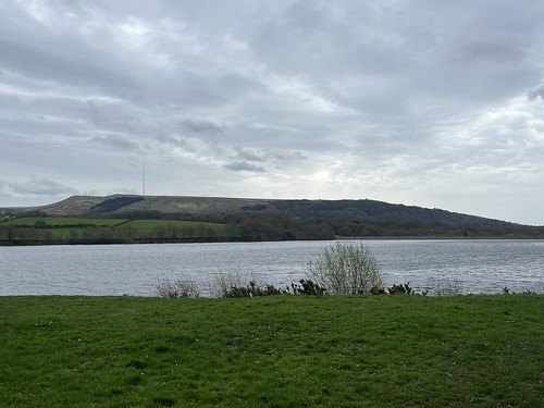
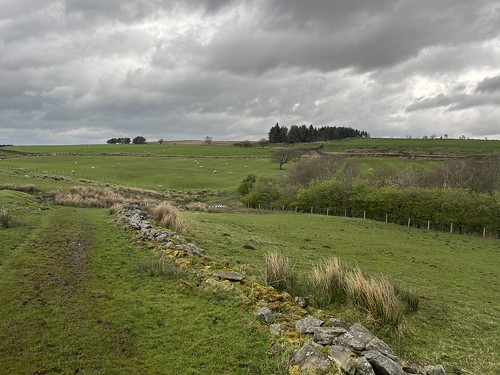
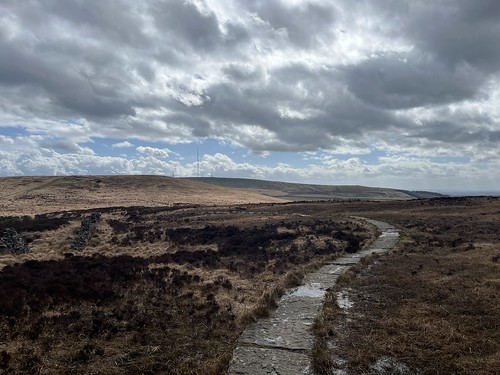
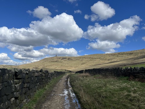
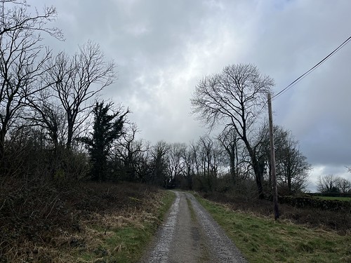
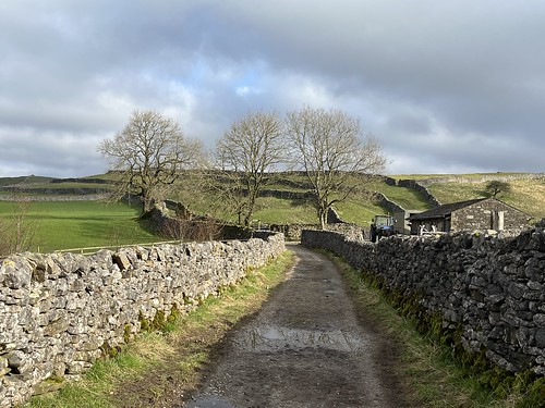
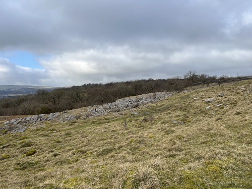
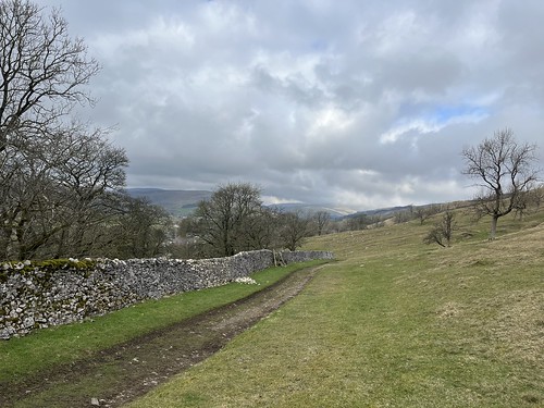
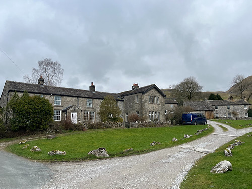
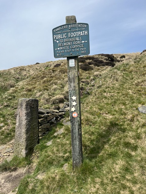
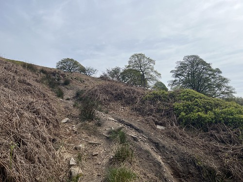
I parked up in White Coppice and joined the path that climbed up towards the moor.
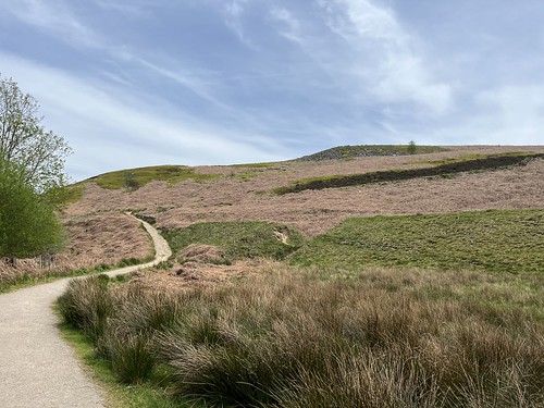

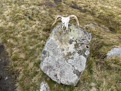
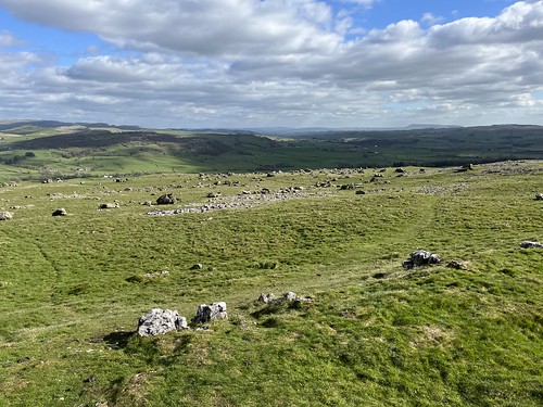
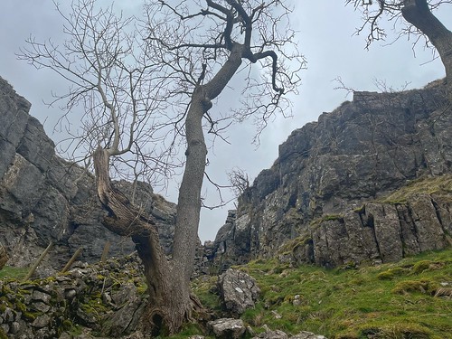
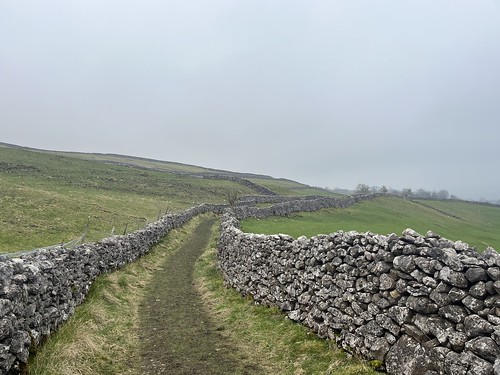
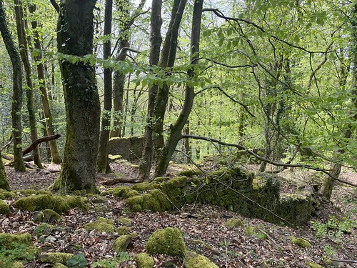
At the top of the climb I soon encountered the remains of one the farms – Coppice Stile. The farmsteads up here were simple structures – one room deep longhouses with 3 to 5 bays. There’s not much left of it now; just piles of stones

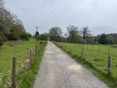
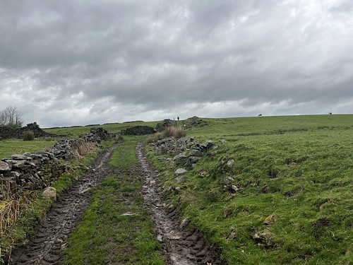
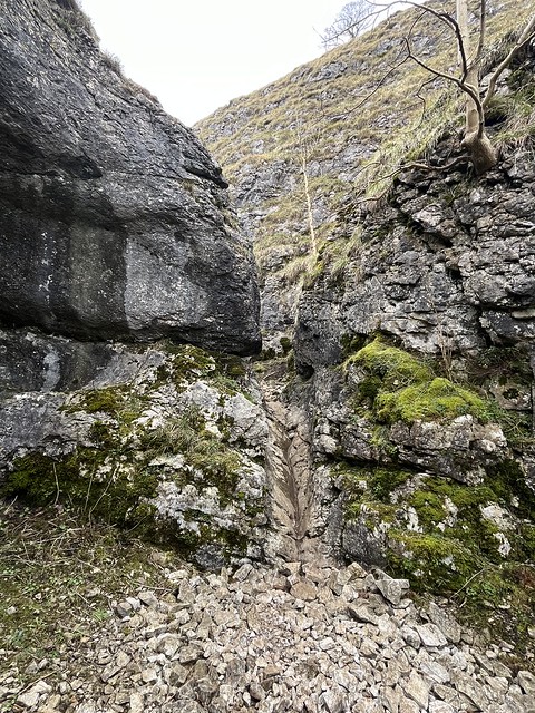
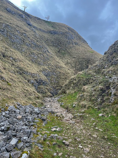
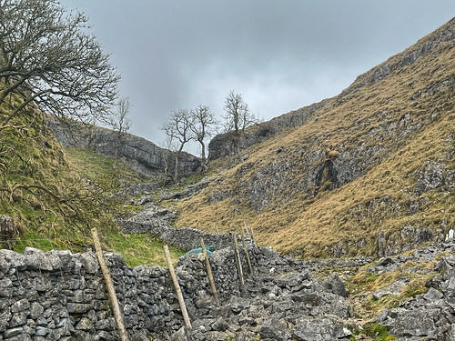
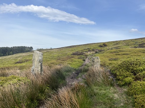
I carried on along the path
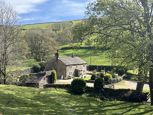
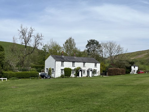
and it wasn’t too long before I reached Drinkwaters, one of the larger farms that was actually occupied until the 1930’s.

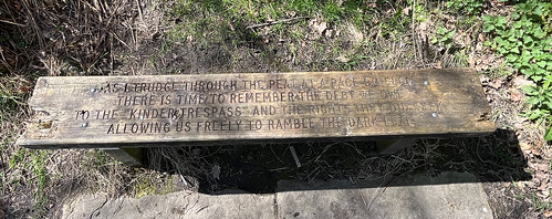
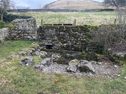
Information boards have been set up at a few of the farms by the Wildwoods project.

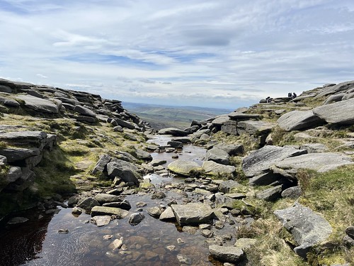
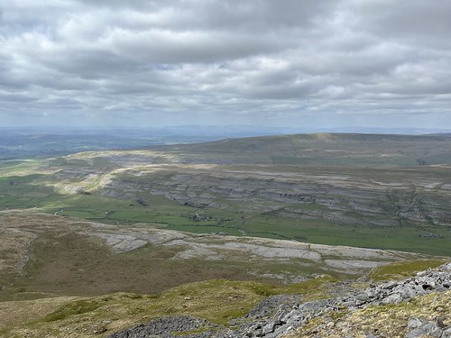
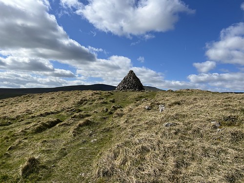
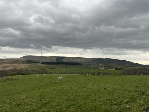
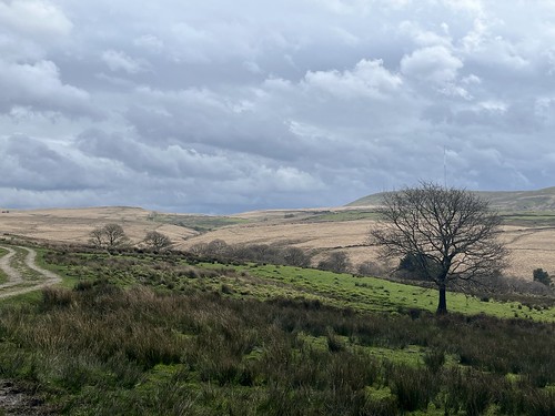
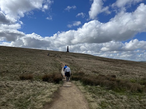
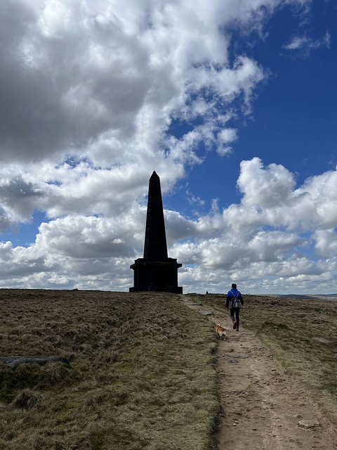
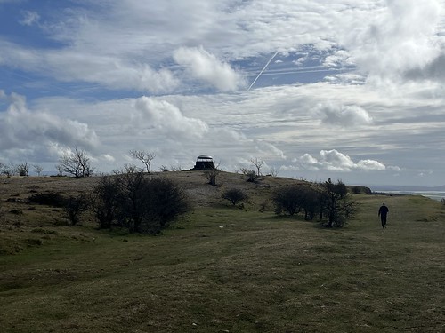
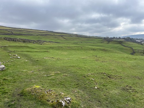
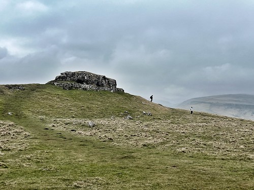
Carrying I climbed to the summit of Great Hill and stopped for a bite to eat, sheltering from the wind.

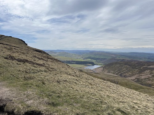
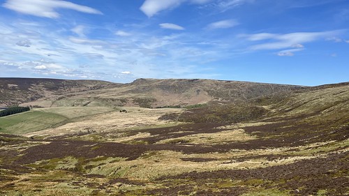
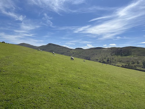
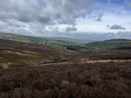
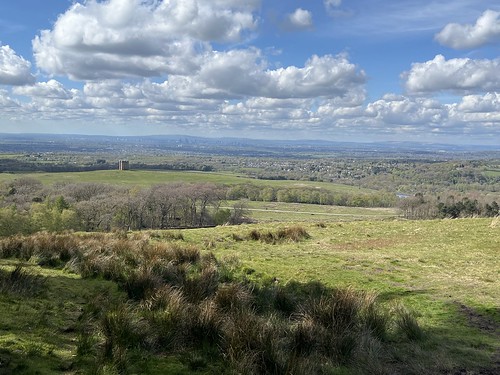
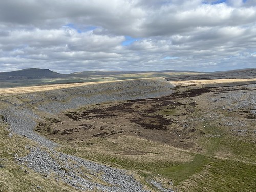
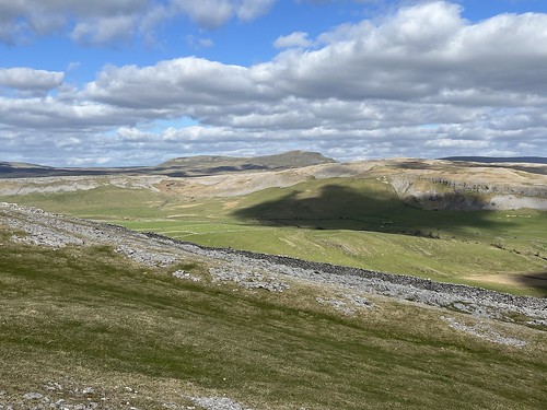
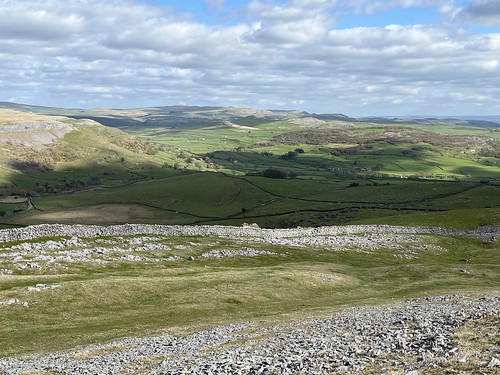
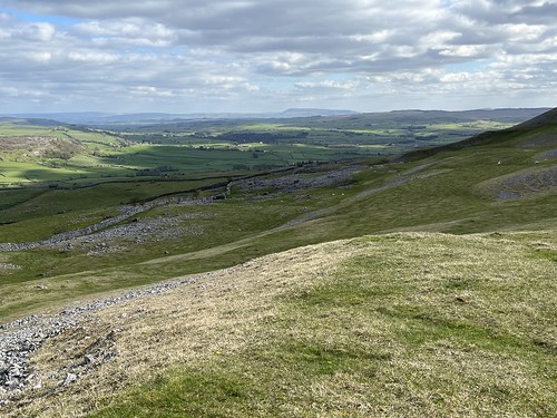
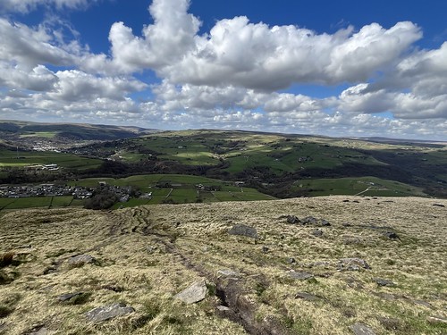
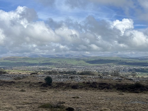
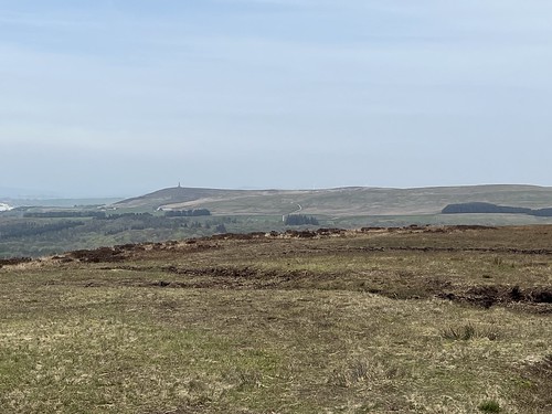
It was a warm, but windy and hazy day. Long range visibility was poor, so no views of the Lakes, dales or Welsh mountains. Even Pendle was obscured in the haze.
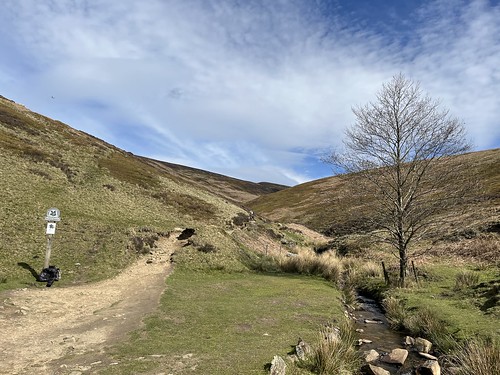
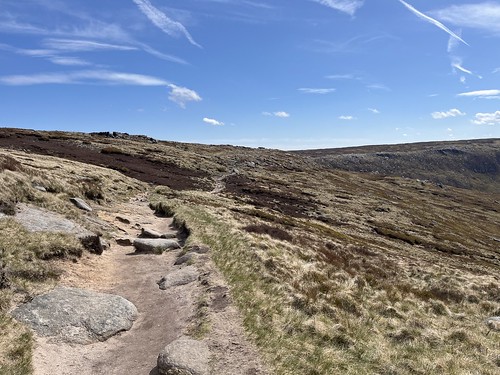
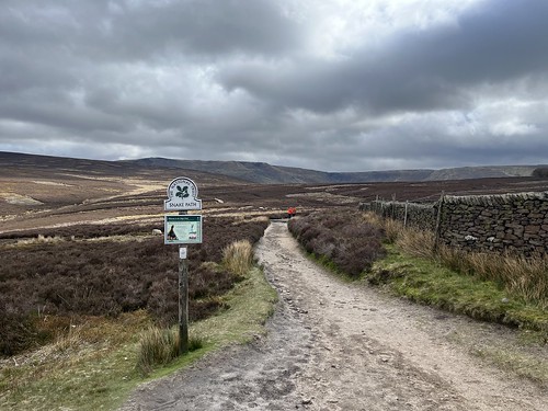
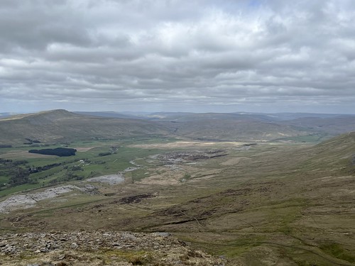
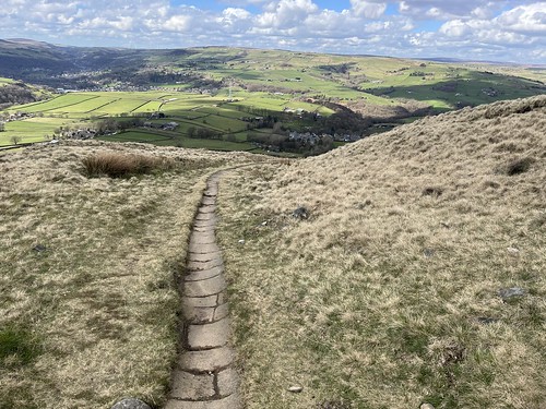
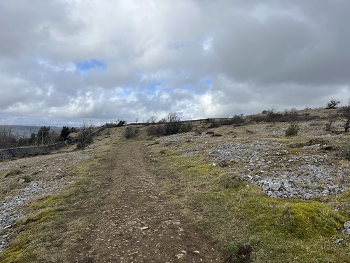
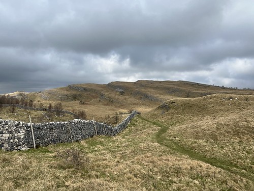
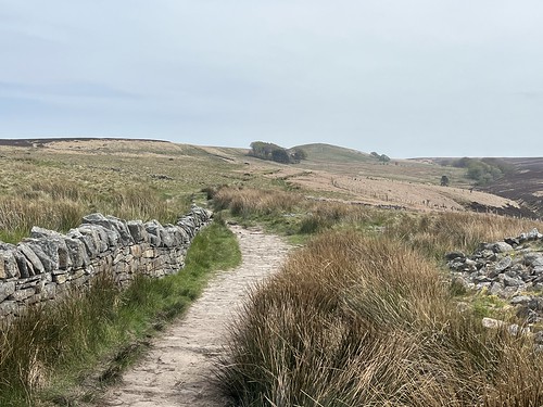
Time to move on. I statred by taking the flagged path downhill, heading towards Redmond’s and Spitler’s Edges,

but I turned off at the bottom of the hill, taking the path at the foot of Great Hill

until I reached the ruins of Great Hill Farm.
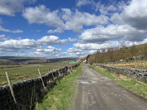
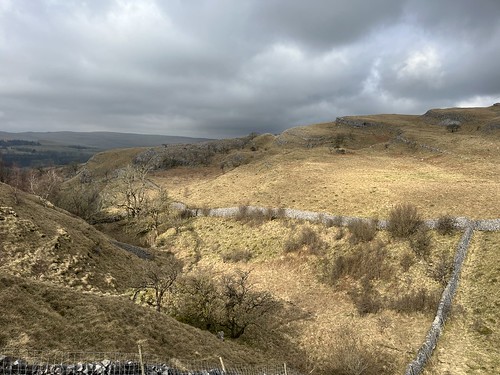
I carried on, passing Drinkwaters and at the junction in the path turned right heading towards Brinscall.
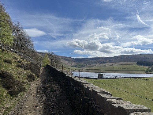
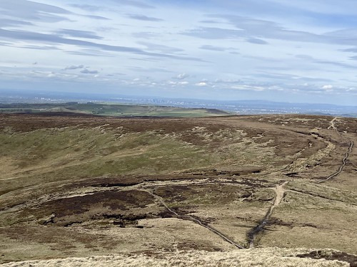
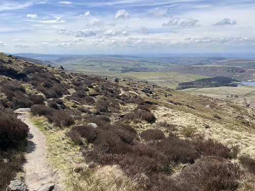
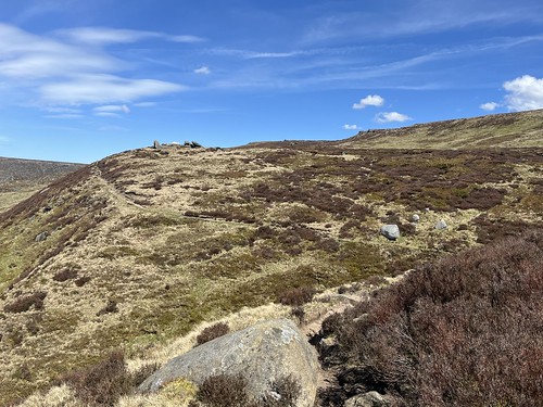
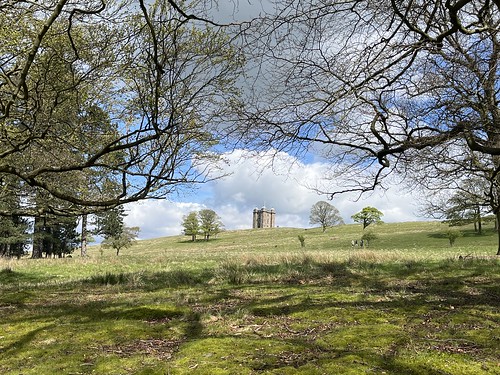
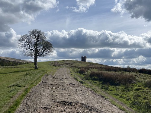
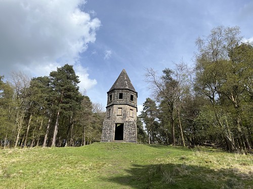
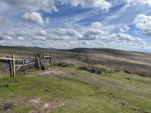
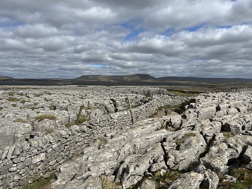
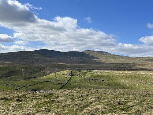
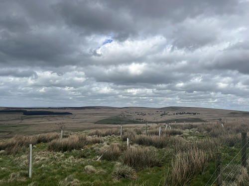
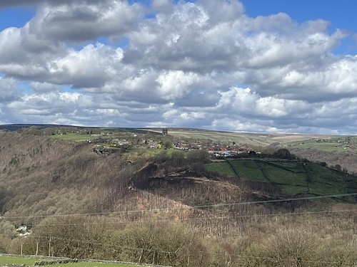
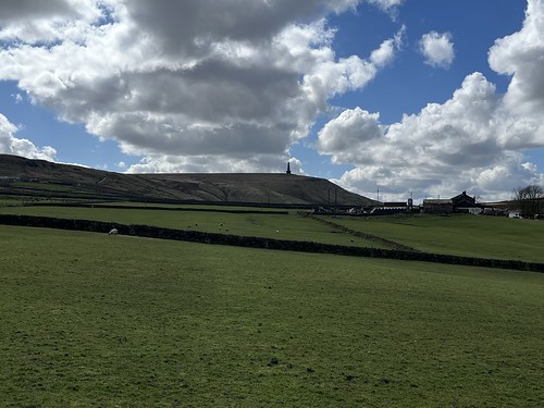
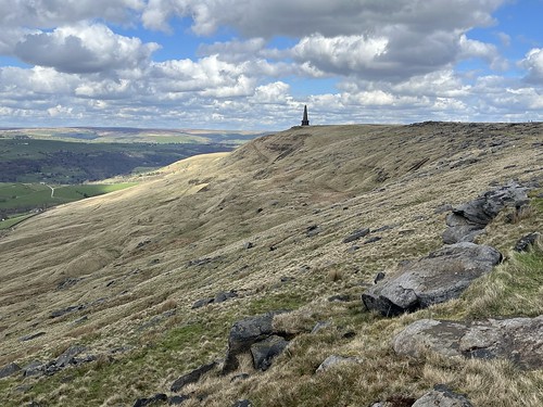
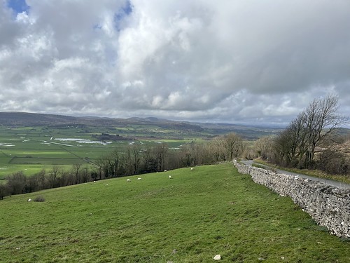
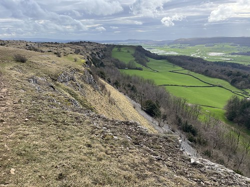
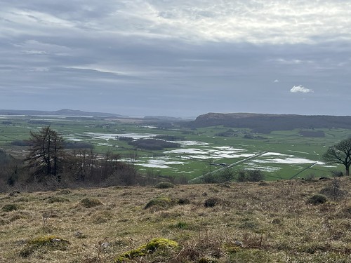
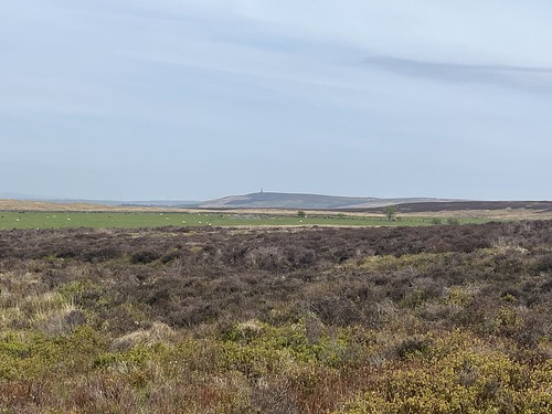
I was on a track now that must have been used by grouse shooters as this part of the moor, flat and covered by heather, was previously shooting territory, evidenced by the presence of many shooting butts, now falling into ruin. Looking across the moor I could see Darwen Tower again.
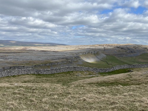
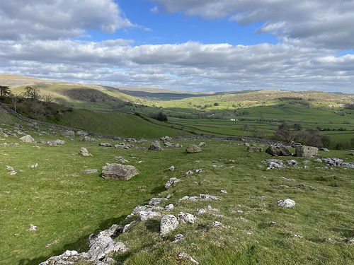
Off the path, to the left, there are remains of yet more farmsteads, but I didn’t seek them out amongst the bogs and the heather, carrying on to the end of the track where it meets the minor road down to Brinscall.
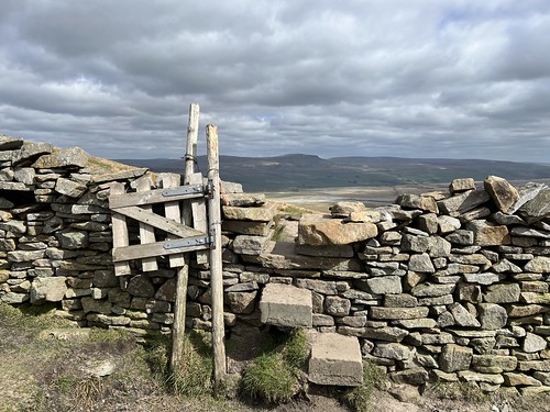
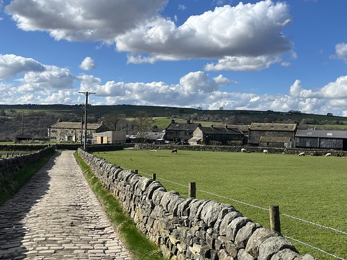
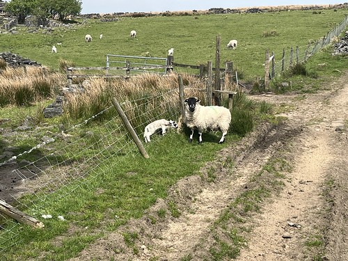
I crossed the road and went through the gate onto a farm track

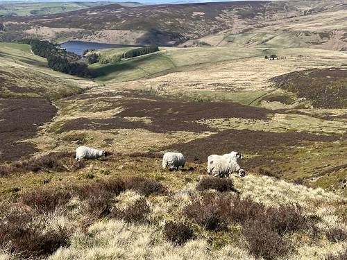
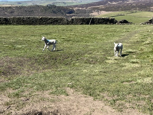
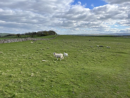
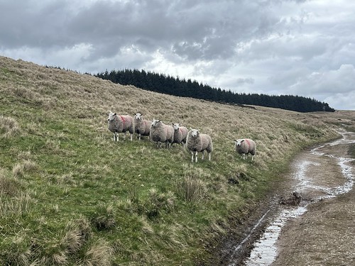
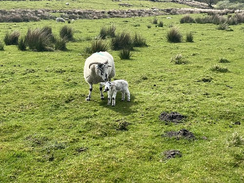
encountering sheep with their lambs – it was that time of year when the sheep are brought off the moor for lambing in the “in bye land”.
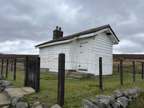
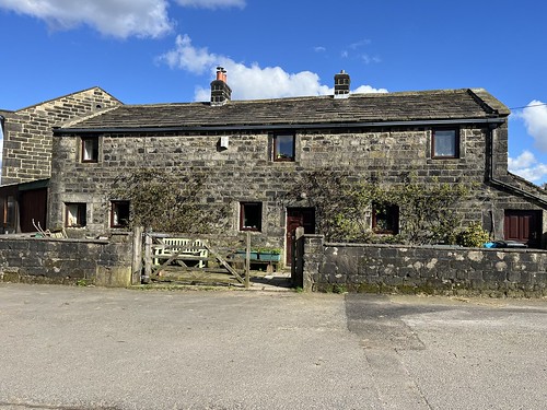
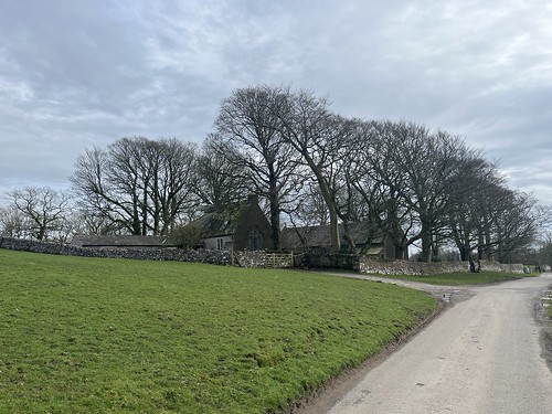
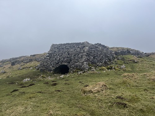
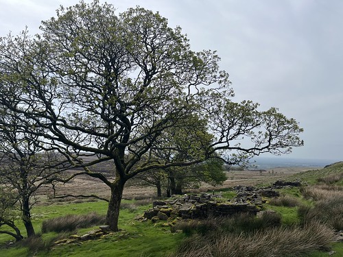
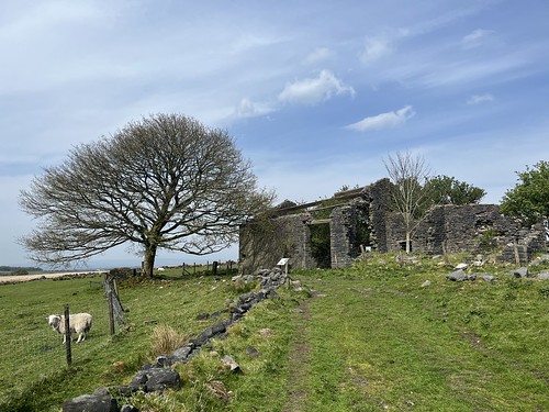
Climbing over another stile I made my way to the substantial ruins of Ratten Clough which was only abandoned in 1960. I’m not sure why it survived so much longer than most of the other farms. Possibly the Water Board were willing to allow a small number of larger, more modern (for early 20th century) to survive as sheep farming on the moor still takes place today, albeit with only two farms, both at the foot of the moor.
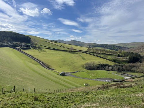
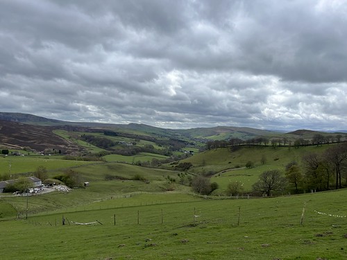
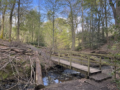
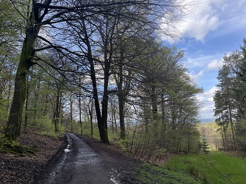
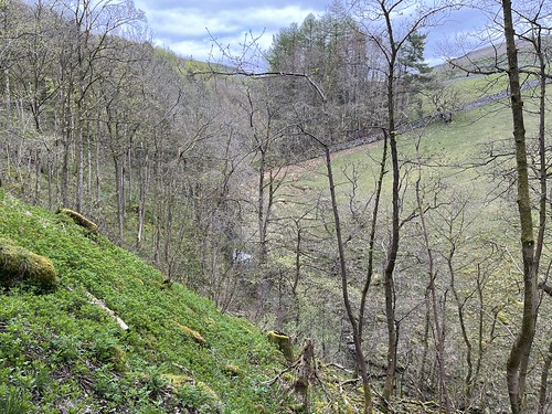
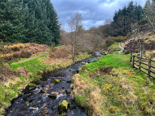
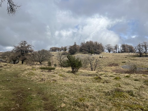
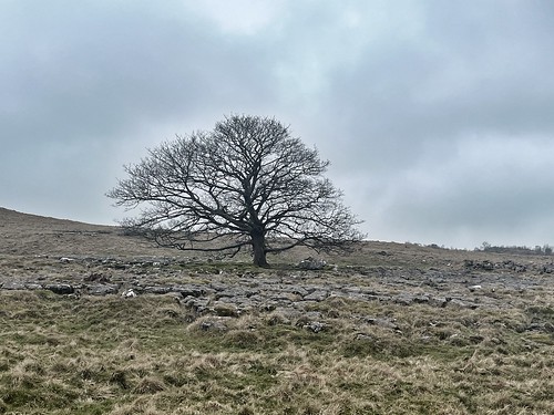
I started to make my day down the hill, through the fields and then, crossing over the minor road, through Wheelton Plantations.
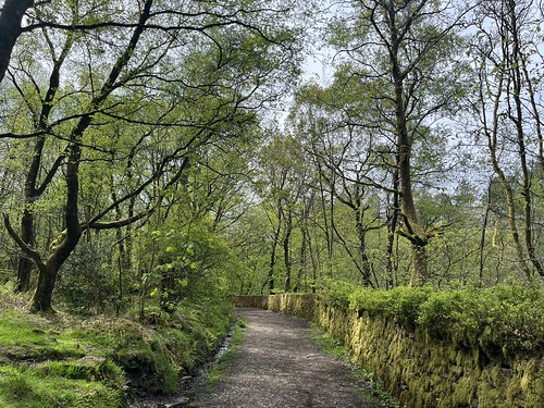
The trees here were panted after the demolition of the farms that were previously on the hillside to make sure no one returned to their former homes. But it made for a pleasant shaded walk on what was becoming a hot, sunny afternoon.
Leaving the woods, rather than follow my usual route back to White Coppice along the Goyt, I took a path that climbed back up the hillside.
Higher up the hillside was covered with Whinberry (wild bilberry) plants. A good place to come in a few months when the berries are out – I love a whinberry pie and haven’t eaten one for years!

More evidence of former farms up here, but I didn’t spend time exploring further. Something to do another time.
The path carried on gradually descending down the hillside – I could see Healy Nab ahead – I used to live on the other side of that hill before I left home for University..

Arriving back at White Coppice I made my way back to my car.


A good walk in familiar territory, but with a different focus.