Bank Holiday Monday it was time to get the boots on and go for another walk. More local this time, on the West Lancashire Moors, my teenage stomping ground. And a solo walk this time. It started out overcast and certainly was “wild and windy” up on the moor, but conditions improved dramatically during the course of the afternoon and I finished the walk in pleasant, warm sunshine.
I drove over to the small hamlet of White Coppice, once an industrial settlement but now a desirable location close to Chorley. After donning my boots I set off past the cricket pitch
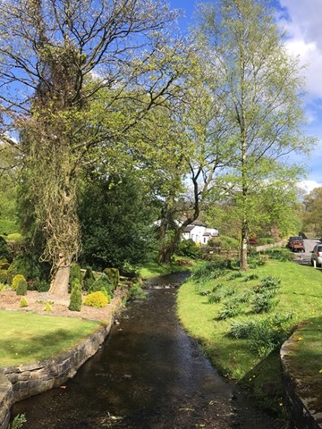
and followed the Goit (a water course that takes water from the Roddlestone reservoirs across to that at Anglezarke) towards the Wheelton Plantation.
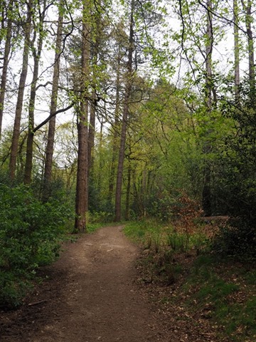
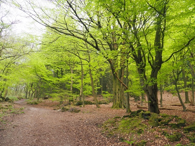
I took the path through the woods, climbing up towards the moor land.
I crossed over the stile and onto the moor
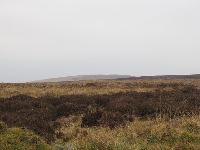
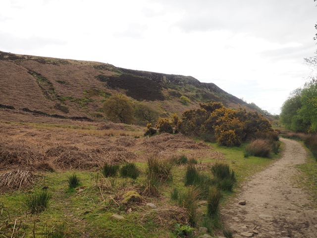
It’s a bleak landscape. Very atmospheric with a wild beauty. And quiet except for the sound of the wind, the song of skylarks and the occasional bubbling cry of a curlew.
I could see the summit of Great Hill, my first objective, rising above the plateau.
A little later the prehistoric tumulus, Round Barrow, came into view, dominating Anglezarke Moor on the other side of the valley.
I reached the intersection
and carried on along the path towards Great Hill, passing the ruined farm at Drinkwaters, so named due to it’s proximity to a spring
I spotted a monument to the Wigan fell runner Joe Whitter that wasn’t there last time I was up here
He’d left his cup behind
The summit was straight ahead
Not longer after I reached the top and was glad of the shelter from the cold wind
Visibility wasn’t too good today. I could see Darwen Tower to the east and could just about make out Winter Hill tot he south east
but no chance of seeing the Yorkshire Three Peaks, the Lakeland fells and the Welsh mountains today (all visible on a good day).
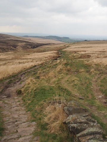
I took the flagged path heading south
and then turned on to the lower level path that skirts the summit,
heading west. Reaching a ruined farm
a short climb and I joined the main path to White Coppice
Looking back to the summit
The weather was improving with the sun starting to emerge from the cloud as I descended towards White Coppice
Reaching the bottom of the hill, I was pleased to see that the cricket pavillion cafe was open – time for a brew!
I stopped for a short rest looking over the cricket field
before crossing back over the Goit to inspect the remains of the former quarries and mine workings
I’d decided to extend my walk by taking the path towards Anglezarke Reservoir and then climb Healey Nab
I took a diversion along a path tat climbed up on to the top of the hill on to the moor, from where there were god views over White Coppice
towards Chorley and Healey Nab
and back over the moor towards Great Hill which was now lit up by the sunshine
There were some climbers in one of the quarries
Some curious local residents were keeping an eye on me
I descended back down onto the main path
Looking back up to the hill I’d just climbed
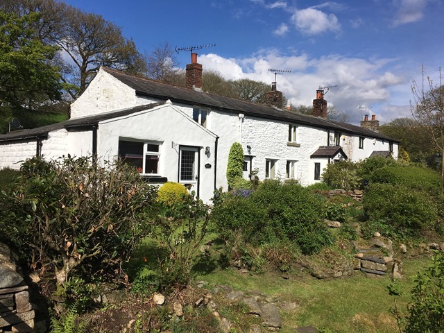
Eventually I reached the Anglezarke to Heapey road, passing the Waterman’s Cottage
on the shores of Anglezearke reservoir
Looking over the reservoir from the dam
I took the path, climbing up Healey Nab. When I was a teenager we lived in a house at the other side of this small hill on the edge of Chorley. I regularly climbed it taking the family Labrador for a walk and it had to be crossed on my way to climb Great Hill or to head over to Anglezarke or Rivington. BUt I hadn’t been up it for about 40 years. It had, inevitably changed. the saplings and youg trees I remembered that had ben planted over the summit were now full grown
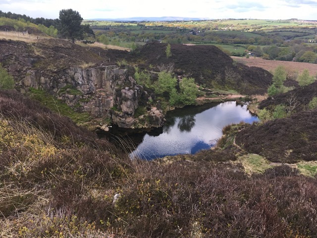
The flooded quarry we knew as “Bluewater” was still there
as was “Pilkington’s pyramid”
there were good views east over to Rivington, Anglezarke
and Great Hill
But the view over the town from the summit was obscured by the mature trees
Back down the hill now, to return to my car
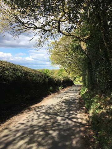
A short walk on tarmac down a leafy, narrow lane
and I arrived back in White Coppice
It was now bright and sunny – quite different to when I arrived
I had a quick look around the village
Reaching the car I changed out of my boots and set off for home. I’d walked about 9 miles over varied countryside – riverside, woodland, desolate moorland, and through fields and along leafy lanes. Plus I’d revisited some old haunts, bringing back some memories.















I feel like I was on that walk, too. Your photos really captured the place and all the weather changes you experienced as you strode along. Love some of the place names in this post, like Anglezarke and Heapey’s Road. Got a good chuckle at Pilkington’s pyramid, too.
Thanks Susanne. The place names are interesting! Many of them, like Anglezarke, are Norse in origin reflecting the fact that this area was colonised by the Vikings. Pilkington’s pyramid was allegedly built by a local man who carried a stone up the hill every day while his wife was pregnant. At least, that’s what we believed when I was a teenager!
What a great walk. I like bleak! Bleak is good.
Thanks Anabel. I certainly agree. Spent hours up here in my teens.
Thanks for this great post, it brought back memories of when I first went to White coppice camping with the scouts over 50 years ago now – and one of your maps would have made it perfect.
Thanks Malcolm. I didn’t need a map for this walk. I know these moors like the back of my hand!
Ahh, but I can’t remember all the detail after fifty odd years and was trying to figure out exactly where you were by your photos – I seem to remember that we pitched our small tent by the side of the river in one of your photos and walked, following the stream, up a small valley over to Belmont before returning to White Coppice and sneaking into a pub at the junction of Coppice Lane and Tithe Barn Lane – we were about sixteen or so at the time. Is the pub still there I wonder?
Sounds like a fair walk if you got over to Belmont. I think I know the pub you mean – the Railway? Alas, long since fulfilling that function. Now someone’s house.
What a transformation in the weather!
Long time since I’ve been in that neck of the woods. We have a painting (well a print) of The Waterman’s Cottage on out wall, by (brilliant) local artist Donald Dakeyne. We won it in the Art Trail raffle (amazing raffle prize!). The art trail is every June, the fourth weekend this year I think.
I’ll have to get round to visiting the art trail one of these days.
Pingback: Back on the Moors | Down by the Dougie