When does summer end and autumn begin? Well for me, the August Bank Holiday signals the start of the transition between the seasons. September is the end of the school holidays and the prospect of a busy time at work is on the horizon. So the Bank Holiday weekend is the last shout of summer, but also a time when everywhere is busy, the motorways are jammed and half the rail network is shut down due to engineering works. So definitely not a time to be heading out. This year, though, I managed to extend the Bank Holiday by a couple of days and book a place in the Youth Hostel in Coniston. So on the Tuesday, when most people were back in work I took the direct train to Windermere and then caught the bus (an entertaining ride between Ambleside and Coniston on little wiggly roads encountering cars – how the driver didn’t hit them I’ll never know!). It took longer than it would if I’d driven, but I enjoyed being able to look out of the window and appreciate the scenery for once.
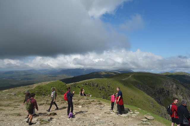
I arrived in Coniston about 12:30 and set out on the walk I’d planned, by passing the Old Man and heading up Dow Crag. The village was busy but I was soon away from the crowds, setting up across the fields that would take me up to the Walna Scar Road. I had thought I might follow the shore of Coniston Water down to Torver and cut up from there, a route I’d fancied trying for a little while, but I wanted to get to the hostel around 6 o’clock and I reckoned that would take me a little too long to achieve that objective.


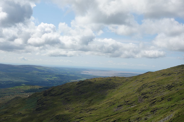
and back down to Coniston Water

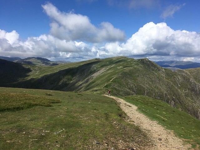
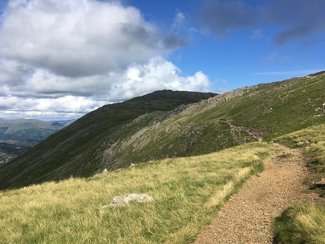
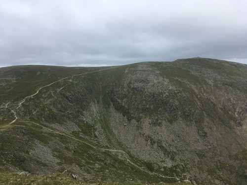
Reaching the old track, about a mile after the quarry car park, I carried on climbing gradually and the Dow Crag ridge with Brown Pike and Buck Pike came into view .

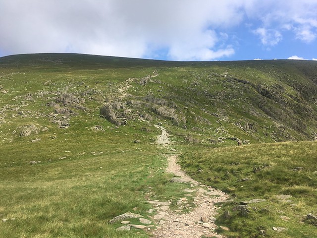
I turned off a short distance before the Torver Bridge taking the path towards Goat’s Water and Goat’s Hawse. As I climbed the path, i started to encounter people coming down the path. A popular return leg from Coniston Old Man for those who park up at the Walna Scar Road quarry car park.
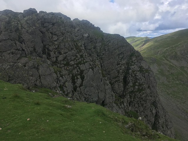
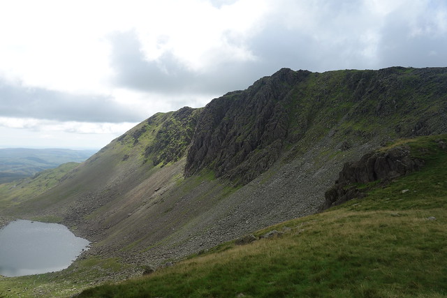
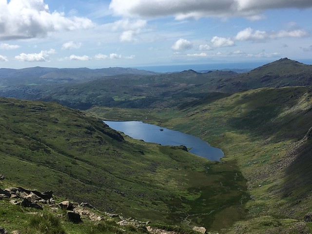
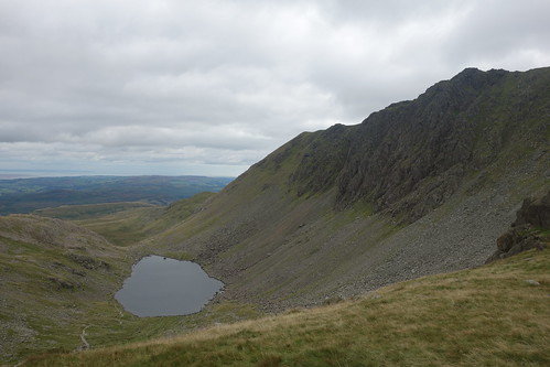
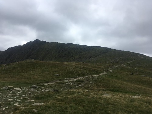
I eventually reached the foot of Goat’s Water with Dow Crag, a mighty wall of rock, popular with rock climbers, looming over the tarn.
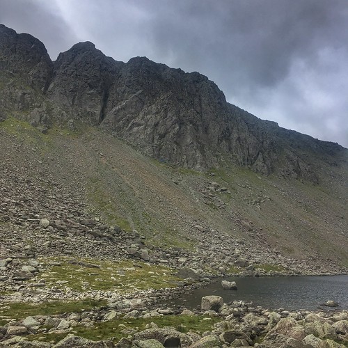
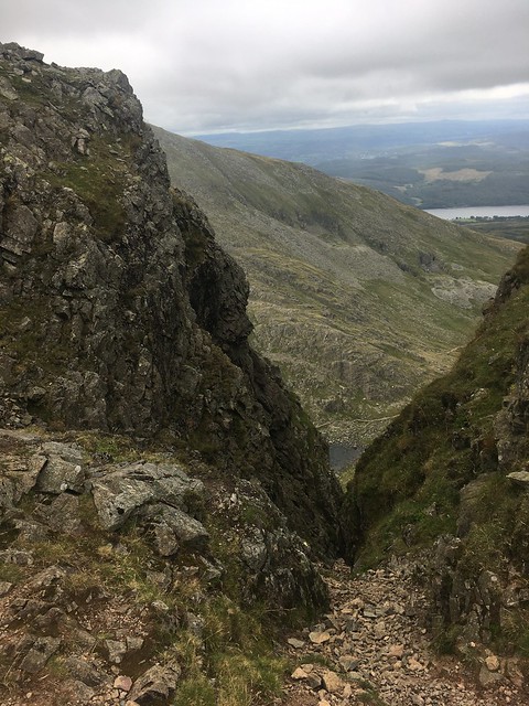
It’s a tricky walk along the shore of the tarn, over the boulders. The ascent up to the Hawse started at the top of the tarn.
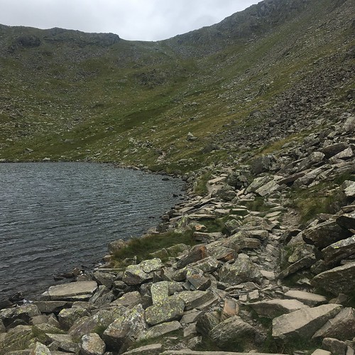
Looking back to Goat’s Water from the top of the Hawse

over to Dow Crag
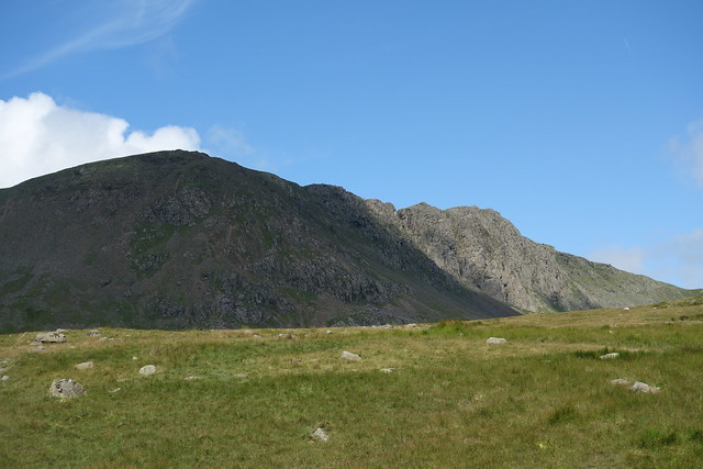
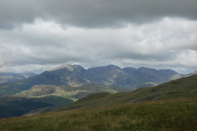
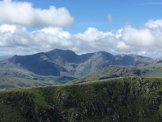
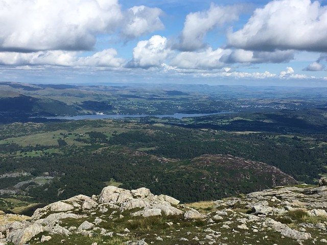
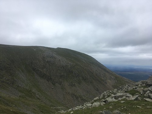
and over to the north west I could see the Scafells, although the summit of the Pike was obscured by cloud
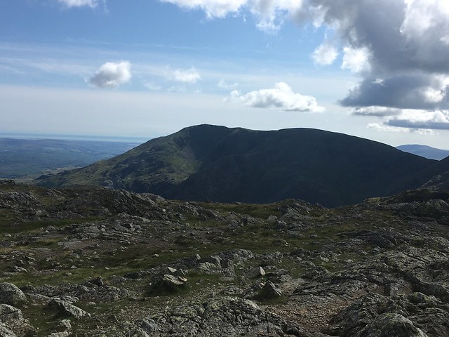
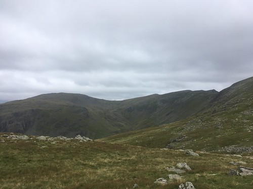
Looking over to Swirl How and Grey Friar
and looking to the east, there’s the Old Man
It was a grey afternoon and I could see rain falling over to the east and also over the Scafells. I was keeping my fingers crossed it wouldn’t blow over and although there were a few drops, it never really started to rain over my chosen route.

I stopped for a short while for a bite to eat and then started my climb up towards Dow Crag
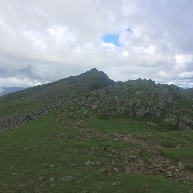
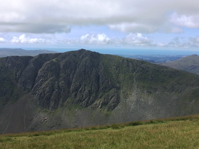
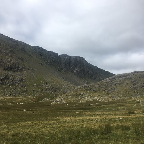
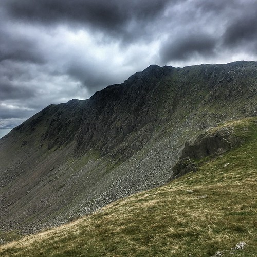
Dow crag is the first of three summits on a ridge to the west of Goat’s Water. It consists of steep, rocky crags that plummet down to the bottom of the valley, the west side is a much gentler slope. It’s a much quieter along this ridge than on the old Man. There was a couple taking the same route but that was it, although I saw a walker and three mountain bikers coming the other way after I’d reached Brown Pike.
Approaching the rocky summit of Dow Crag

Looking back to Swirl How and Grey Friar
and across to the Old Man.
Getting over the summit of Dow Crag is a bit tricky but it’s easy walking after that.
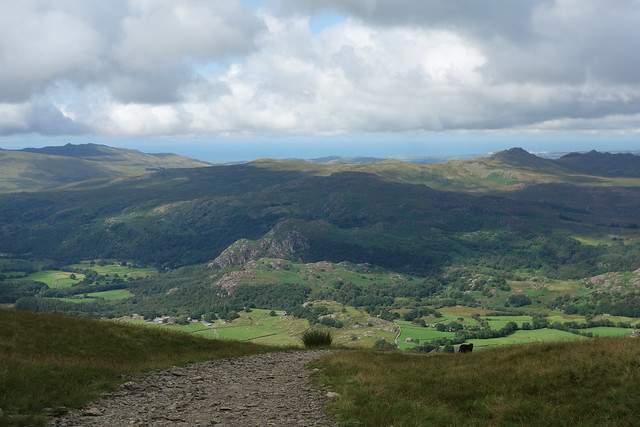
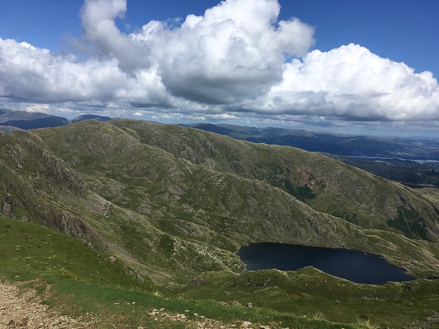
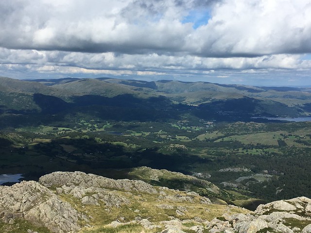
A good view down to Coniston Water opened up. Definitely some rain falling over that way

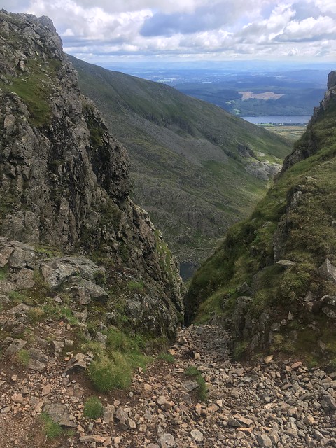
After the summit I passed the steep gullies beloved of “crag rats”. They’d be a quick way down but that’s not exactly advisable!


I couldn’t help keep looking back towards the Scafells

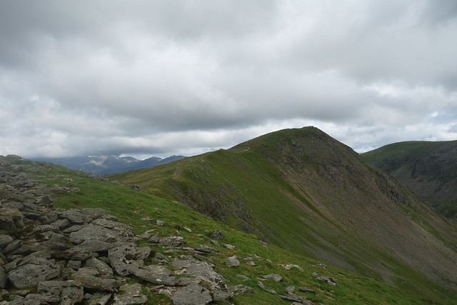
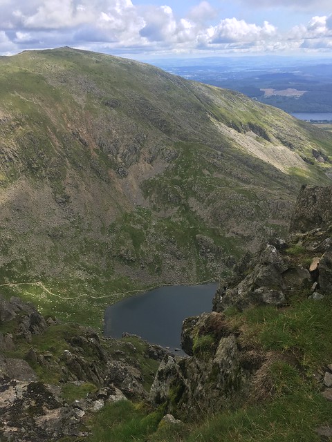
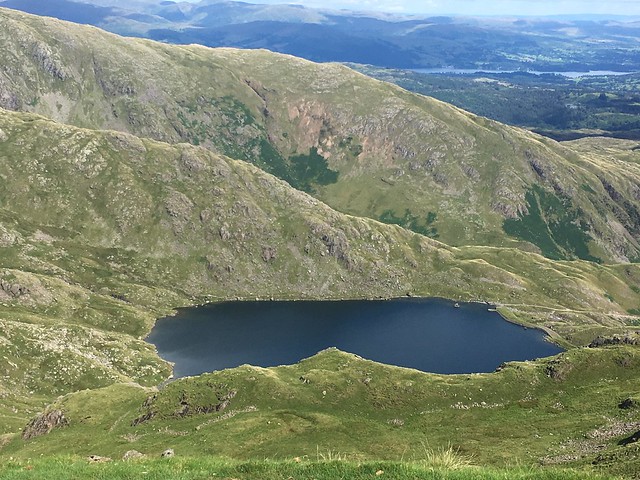
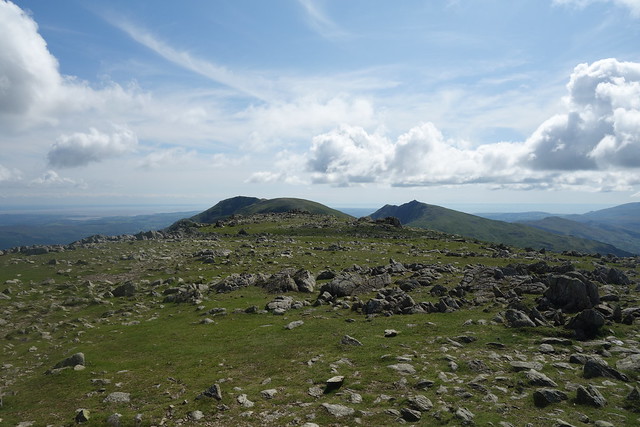
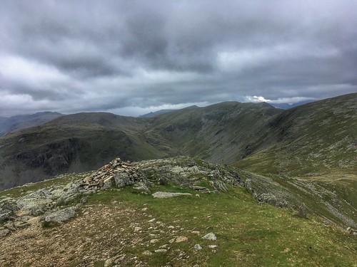
The next summit along the ridge was Buck Pike. After crossing over the summit I could see down to Blind Tarn. It got its name as it has no apparent inflow or outflow

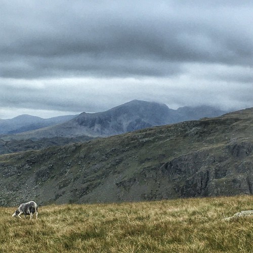
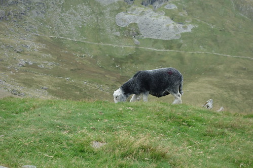
As usual, there were quite a few Herdies up on the fell

The summit of Brown Pike where I met another walker tackling the ridge from the opposite direction

Starting my descent down Brown Pike, the last of the three summits

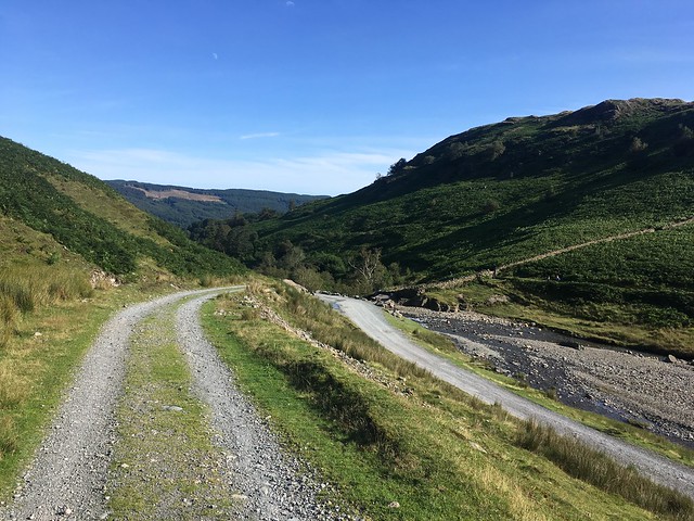
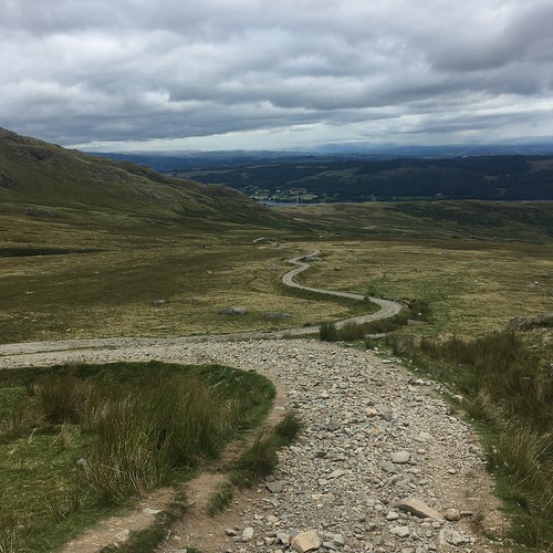
I was soon back on the Walna Scar Road heading down towards Coniston

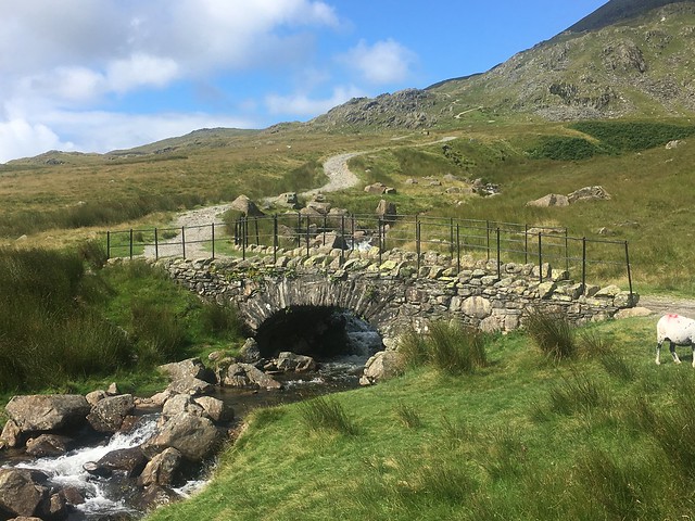
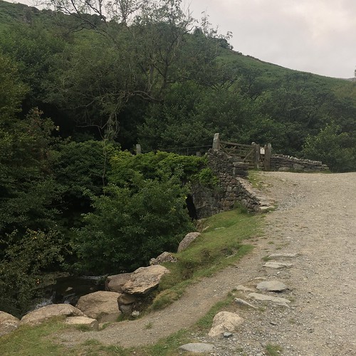
There’s the Torver Bridge
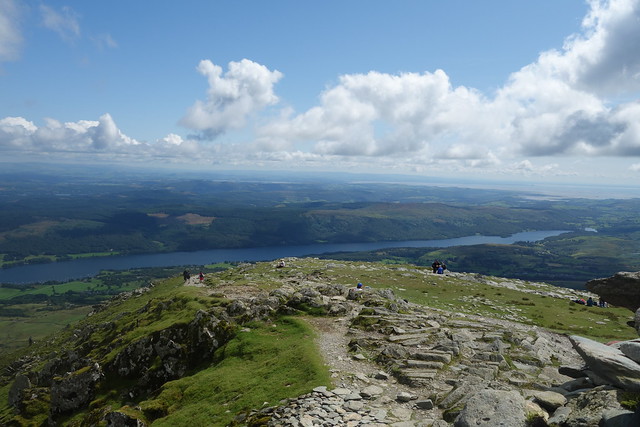
Carrying on I eventually reached the Walna Scar Quarry car park. They’d done it up a bit since the last time I was there and had started charging. A lot of people start their ascent of the Old Man from here, where they’re already getting on for 200 metres above the lake saving some climbing.
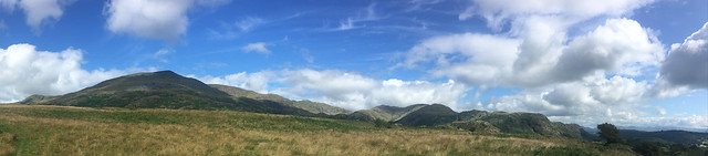
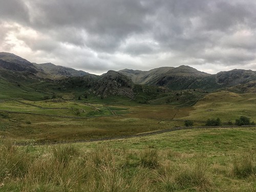
This was the view over to the fells.
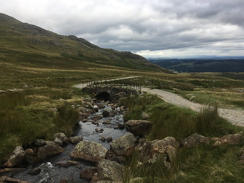
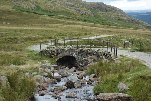
After the car park I was walking on tarmac for a while, before taking a path down towards MIner’s Bridge at the bottom end of Copper MIne Valley.


After crossing over the Miner’s Bridge, I followed the track down towards Coniston
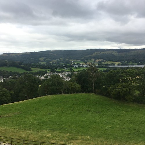
and then took the path along Yewdale, passing the hostel and then doubling back to check in. It was about 6;30 pm, only a little later than planned.
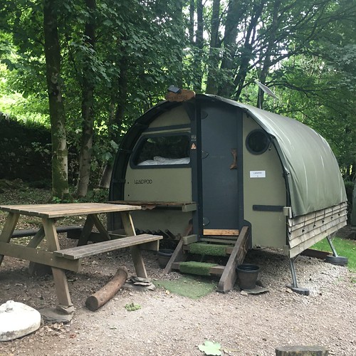
This time I’d reserved one of their land pods – a kind of cross between a pod and a tent. I think they look like some sort of alien spaceship – but I didn’t end up getting abducted!